UN/LOCODE hub · Egypt
EGIKU

Idku

31.3000°, 30.3000°
177,152
Population
3
Transport functions

Transport Functions

Port
Rail
Road
UN/LOCODE

Hub Profile

Place type
Provincial seat
GeoNames
Region
Beheira
GeoNames
Population
177,152
GeoNames
Time zone
Africa/Cairo
GeoNames
Elevation
6 m
GeoNames

Location

Location of EGIKU
Natural Earth 10m (public domain) · Beheira · EGIKU · 31.30, 30.30GoogleOSMYandex

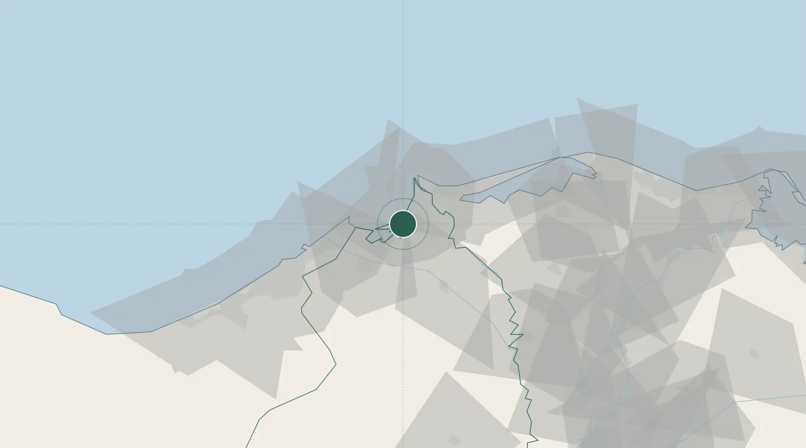
Nearby Logistics Neighbours

Cities
  1. 1Abu Kir21 km
  2. 2El Beheirah29 km
  3. 3El Iskandariya (Alexandria)43 km
  4. 4Burj al Arab84 km
  5. 5Tanta88 km
Nearest neighbours — logibook spatial index (haversine) over the source coordinates
Ports
  1. 1El Maadiya15 km
  2. 2Abu Qir21 km
  3. 3Al Iskandariyh (Alexandria)47 km
  4. 4Sidi Kerir (Kurayr)66 km
  5. 5Damietta139 km
Nearest neighbours — logibook spatial index (haversine) over the source coordinates
Airports
  1. 1Jiyanklis Air Base54 km
  2. 2Alexandria International Airport71 km
  3. 3Birma Air Base80 km
  4. 4Gebel El Basur Air Base88 km
  5. 5Quesna Airport113 km
Nearest neighbours — logibook spatial index (haversine) over the source coordinates
Trade Zones
  1. 1Venus International Free Zone51 km
  2. 2Alexandria Public Free Zone58 km
  3. 3Shebin El-koom Public Free Zone105 km
  4. 4Mit Ghamr Investment Zone114 km
  5. 5Banha Investment Zone127 km
Nearest neighbours — logibook spatial index (haversine) over the source coordinates
DatabookThe Record of Consolidated Knowledge
Egypt beyond logistics?
Browse databook

All Sources

LocationsUN/LOCODE
UN/LOCODE — free
LocationsGeoNames
CC BY 4.0
Portsthe NGA World Port Index
Public domain (US gov)
AirportsOurAirports
Public domain
Trade Zonesthe World Bank SEZ database
CC BY 4.0
Trade ZonesOpen Zone Map
CC BY
← Egypt locations