UN/LOCODE hub · Egypt
EGALY
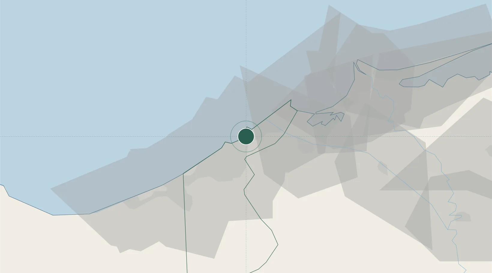
El Iskandariya (Alexandria)
31.1721°, 29.8733°
3
Transport functions
5
Container terminals
Transport Functions
Port
Airport
Postal
Hub Profile
Region
ALX
Logistics facilities
25
Container terminals
5
Location
Nearby Logistics Neighbours
Cities
- 1Abu Kir25 km
- 2Idku43 km
- 3Burj al Arab43 km
- 4El Beheirah57 km
- 5Sadat City90 km
Ports
- 1Sidi Kerir (Kurayr)23 km
- 2Abu Qir26 km
- 3El Maadiya28 km
- 4El Hamra Oil Terminal98 km
- 5Damietta182 km
Airports
- 1Alexandria International Airport32 km
- 2Jiyanklis Air Base50 km
- 3Gebel El Basur Air Base96 km
- 4Birma Air Base108 km
- 5Quesna Airport137 km
Trade Zones
DatabookThe Record of Consolidated Knowledge
Egypt beyond logistics?