Medium airport · Egypt
Jiyanklis Air BaseHEGS
30.8198°, 30.1912°
9,473 ft
Longest runway
2
Runways
49 ft
Elevation
Runway & Layout

Radio Frequencies
TWR
126.1 MHz
CTAF
130 MHz
EGYPTIAN COMMON
Runways · 2
| Runway | Dimensions | Surface | True heading | Lit |
|---|---|---|---|---|
| 12/30 | 9,473 × 145ft | Asphalt | 124° | ✓ |
| 11/29 | 9,460 × 145ft | Asphalt | 113° | ✓ |
Airport Specifications
ICAO code
HEGS
Airport class
Medium airport
Scheduled service
No
Runway surface
Asphalt
Served city
Abu El Matamir
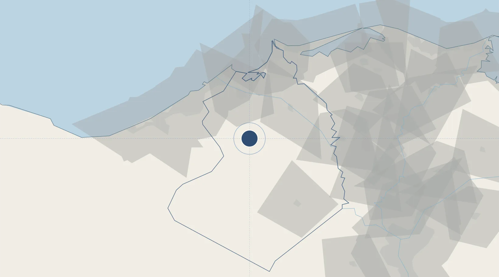
Location
Nearby Logistics Neighbours
Airports
- 1Gebel El Basur Air Base47 km
- 2Alexandria International Airport49 km
- 3Birma Air Base71 km
- 4Quesna Airport94 km
- 5Sphinx International Airport104 km
Cities
- 1El Beheirah39 km
- 2Sadat City42 km
- 3El Iskandariya (Alexandria)50 km
- 4Idku54 km
- 5Abu Kir56 km
Ports
- 1El Maadiya50 km
- 2Al Iskandariyh (Alexandria)52 km
- 3Sidi Kerir (Kurayr)56 km
- 4Abu Qir57 km
- 5El Hamra Oil Terminal128 km
Trade Zones
DatabookThe Record of Consolidated Knowledge
Egypt beyond logistics?