UN/LOCODE hub · Egypt
EGHBE

Burj al Arab

30.9000°, 29.5500°
22,444
Population
3
Transport functions

Transport Functions

Road
Airport
Multimodal
UN/LOCODE

Hub Profile

Place type
Populated place
GeoNames
Region
Alexandria
GeoNames
Population
22,444
GeoNames
Time zone
Africa/Cairo
GeoNames
Elevation
26 m
GeoNames

Location

Location of EGHBE
Natural Earth 10m (public domain) · Alexandria · EGHBE · 30.90, 29.55GoogleOSMYandex

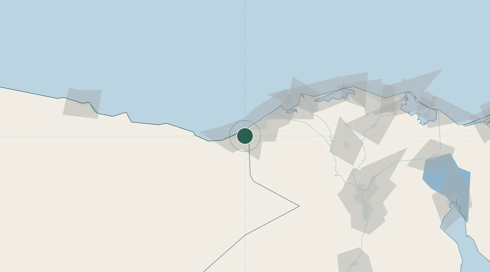
Nearby Logistics Neighbours

Cities
  1. 1El Iskandariya (Alexandria)43 km
  2. 2Porto Marina El Alamein55 km
  3. 3Abu Kir68 km
  4. 4Idku84 km
  5. 5Sadat City88 km
Nearest neighbours — logibook spatial index (haversine) over the source coordinates
Ports
  1. 1Sidi Kerir (Kurayr)21 km
  2. 2Al Iskandariyh (Alexandria)40 km
  3. 3El Hamra Oil Terminal66 km
  4. 4Abu Qir69 km
  5. 5El Maadiya70 km
Nearest neighbours — logibook spatial index (haversine) over the source coordinates
Airports
  1. 1Alexandria International Airport14 km
  2. 2Jiyanklis Air Base62 km
  3. 3El Alamein International Airport104 km
  4. 4Gebel El Basur Air Base105 km
  5. 5Birma Air Base133 km
Nearest neighbours — logibook spatial index (haversine) over the source coordinates
Trade Zones
  1. 1Alexandria Public Free Zone26 km
  2. 2Venus International Free Zone35 km
  3. 3New Alamein City Investment Zone61 km
  4. 4Shebin El-koom Public Free Zone143 km
  5. 5Banha Investment Zone165 km
Nearest neighbours — logibook spatial index (haversine) over the source coordinates
DatabookThe Record of Consolidated Knowledge
Egypt beyond logistics?
Browse databook

All Sources

LocationsUN/LOCODE
UN/LOCODE — free
LocationsGeoNames
CC BY 4.0
Portsthe NGA World Port Index
Public domain (US gov)
AirportsOurAirports
Public domain
Trade Zonesthe World Bank SEZ database
CC BY 4.0
Trade ZonesOpen Zone Map
CC BY
← Egypt locations