Large airport · Egypt
Alexandria International AirportHEBA
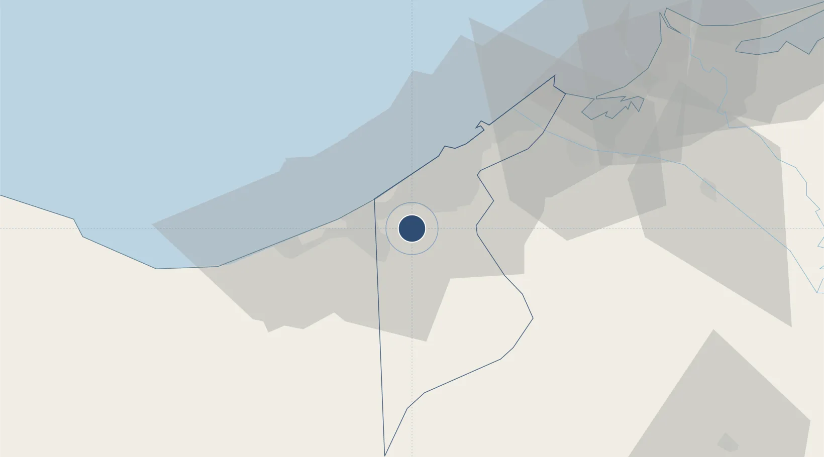
30.9325°, 29.6964°
11,156 ft
Longest runway
3
Runways
171 ft
Elevation
Runway & Layout

Radio Frequencies
TWR
119.1 MHz
APP
122.3 MHz
ALEX RADAR
APP
122.8 MHz
Runways · 3
| Runway | Dimensions | Surface | True heading | Lit |
|---|---|---|---|---|
| 14L/32R | 11,156 × 148ft | Asphalt | 143° | ✓ |
| 14R/32L | 11,155 × 148ft | Asphalt | 143° | ✓ |
| 04/22 | 7,221 × 148ft | Asphalt | 143° | — |
Airport Specifications
IATA code
HBE
ICAO code
HEAX
Airport class
Large airport
Scheduled service
Yes
Runway surface
Asphalt
Served city
Alexandria
Location
Nearby Logistics Neighbours
Airports
- 1Jiyanklis Air Base49 km
- 2Gebel El Basur Air Base93 km
- 3El Alamein International Airport118 km
- 4Birma Air Base119 km
- 5Quesna Airport142 km
Cities
- 1Burj al Arab14 km
- 2El Iskandariya (Alexandria)32 km
- 3Abu Kir56 km
- 4Porto Marina El Alamein69 km
- 5Idku71 km
Ports
- 1Sidi Kerir (Kurayr)14 km
- 2Al Iskandariyh (Alexandria)29 km
- 3Abu Qir57 km
- 4El Maadiya57 km
- 5El Hamra Oil Terminal79 km
Trade Zones
DatabookThe Record of Consolidated Knowledge
Egypt beyond logistics?