UN/LOCODE hub · Egypt
EGAKI

Abu Kir

31.3125°, 30.0778°
1
Transport functions
1
Container terminals

Transport Functions

Port
UN/LOCODE

Hub Profile

Logistics facilities
1
UN/LOCODE
Container terminals
1
UN/LOCODE

Location

Location of EGAKI
Natural Earth 10m (public domain) · Al Iskandariyah · EGAKI · 31.31, 30.08GoogleOSMYandex

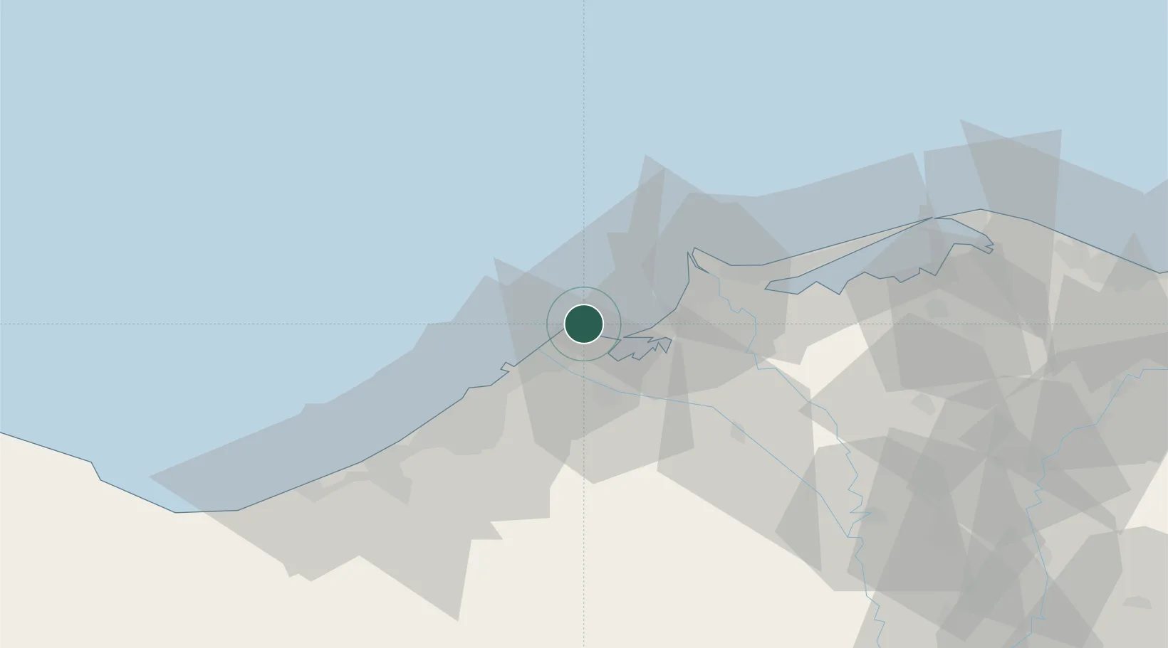
Nearby Logistics Neighbours

Cities
  1. 1Idku21 km
  2. 2El Iskandariya (Alexandria)25 km
  3. 3El Beheirah45 km
  4. 4Burj al Arab68 km
  5. 5Sadat City98 km
Nearest neighbours — logibook spatial index (haversine) over the source coordinates
Ports
  1. 1Abu Qir1 km
  2. 2El Maadiya9 km
  3. 3Al Iskandariyh (Alexandria)28 km
  4. 4Sidi Kerir (Kurayr)48 km
  5. 5El Hamra Oil Terminal121 km
Nearest neighbours — logibook spatial index (haversine) over the source coordinates
Airports
  1. 1Alexandria International Airport56 km
  2. 2Jiyanklis Air Base56 km
  3. 3Birma Air Base97 km
  4. 4Gebel El Basur Air Base97 km
  5. 5Quesna Airport129 km
Nearest neighbours — logibook spatial index (haversine) over the source coordinates
Trade Zones
  1. 1Venus International Free Zone33 km
  2. 2Alexandria Public Free Zone43 km
  3. 3Shebin El-koom Public Free Zone121 km
  4. 4New Alamein City Investment Zone121 km
  5. 5Mit Ghamr Investment Zone133 km
Nearest neighbours — logibook spatial index (haversine) over the source coordinates
DatabookThe Record of Consolidated Knowledge
Egypt beyond logistics?
Browse databook

All Sources

LocationsUN/LOCODE
UN/LOCODE — free
Portsthe NGA World Port Index
Public domain (US gov)
AirportsOurAirports
Public domain
Trade Zonesthe World Bank SEZ database
CC BY 4.0
Trade ZonesOpen Zone Map
CC BY
← Egypt locations