UN/LOCODE hub · Egypt
EGSAD

Sadat City

30.4574°, 30.3064°
2
Transport functions

Transport Functions

Road
Multimodal
UN/LOCODE

Hub Profile

Region
BH
GeoNames
Logistics facilities
2
UN/LOCODE

Location

Location of EGSAD
Natural Earth 10m (public domain) · BH · EGSAD · 30.46, 30.31GoogleOSMYandex

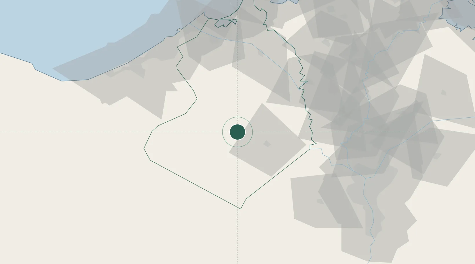
Nearby Logistics Neighbours

Cities
  1. 1El Beheirah71 km
  2. 2Tanta73 km
  3. 3Quesna78 km
  4. 4October Dry Port79 km
  5. 5Sixth of October City83 km
Nearest neighbours — logibook spatial index (haversine) over the source coordinates
Ports
  1. 1Sidi Kerir (Kurayr)90 km
  2. 2Al Iskandariyh (Alexandria)91 km
  3. 3El Maadiya91 km
  4. 4Abu Qir99 km
  5. 5El Hamra Oil Terminal150 km
Nearest neighbours — logibook spatial index (haversine) over the source coordinates
Airports
  1. 1Gebel El Basur Air Base26 km
  2. 2Jiyanklis Air Base42 km
  3. 3Sphinx International Airport69 km
  4. 4Cairo West Air Base70 km
  5. 5Birma Air Base74 km
Nearest neighbours — logibook spatial index (haversine) over the source coordinates
Trade Zones
  1. 1Shebin El-koom Public Free Zone68 km
  2. 2Alexandria Public Free Zone82 km
  3. 3Banha Investment Zone85 km
  4. 4Media Public Free Zone87 km
  5. 5Venus International Free Zone90 km
Nearest neighbours — logibook spatial index (haversine) over the source coordinates
DatabookThe Record of Consolidated Knowledge
Egypt beyond logistics?
Browse databook

All Sources

LocationsUN/LOCODE
UN/LOCODE — free
Portsthe NGA World Port Index
Public domain (US gov)
AirportsOurAirports
Public domain
Trade Zonesthe World Bank SEZ database
CC BY 4.0
Trade ZonesOpen Zone Map
CC BY
← Egypt locations