Transport Functions
Port
Hub Profile
Place type
Populated place
Region
Lääne-Virumaa
Population
334
Time zone
Europe/Tallinn
Elevation
22 m
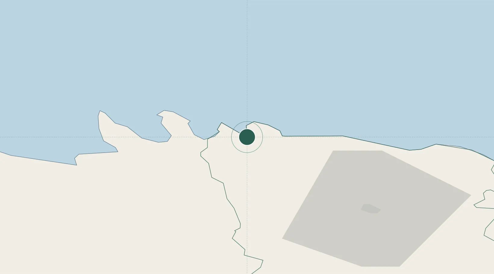
Location
Nearby Logistics Neighbours
Cities
- 1Viinistu Sadam14 km
- 2Loksa15 km
- 3Suurpea17 km
- 4Eisma19 km
- 5Hara Sadam20 km
Ports
- 1Loksa15 km
- 2Kunda33 km
- 3Tolkkinen54 km
- 4Muuga-Port of Tallin57 km
- 5Miiduranna66 km
Airports
- 1Lennart Meri Tallinn Airport67 km
- 2Tallinn Linnahall Heliport70 km
- 3Helsinki Vantaa Airport99 km
- 4Helsinki East-Redstone Aerodrome106 km
- 5Ämari Air Base106 km
Trade Zones
- 1Muuga Free Zone63 km
- 2Port of Sillamäe101 km
- 3Paldiski Free Zone110 km
- 4Port of Hamina-Kotka112 km
- 5Freeport of Hanko175 km
DatabookThe Record of Consolidated Knowledge
Estonia beyond logistics?