Transport Functions
Port
Hub Profile
Region
37
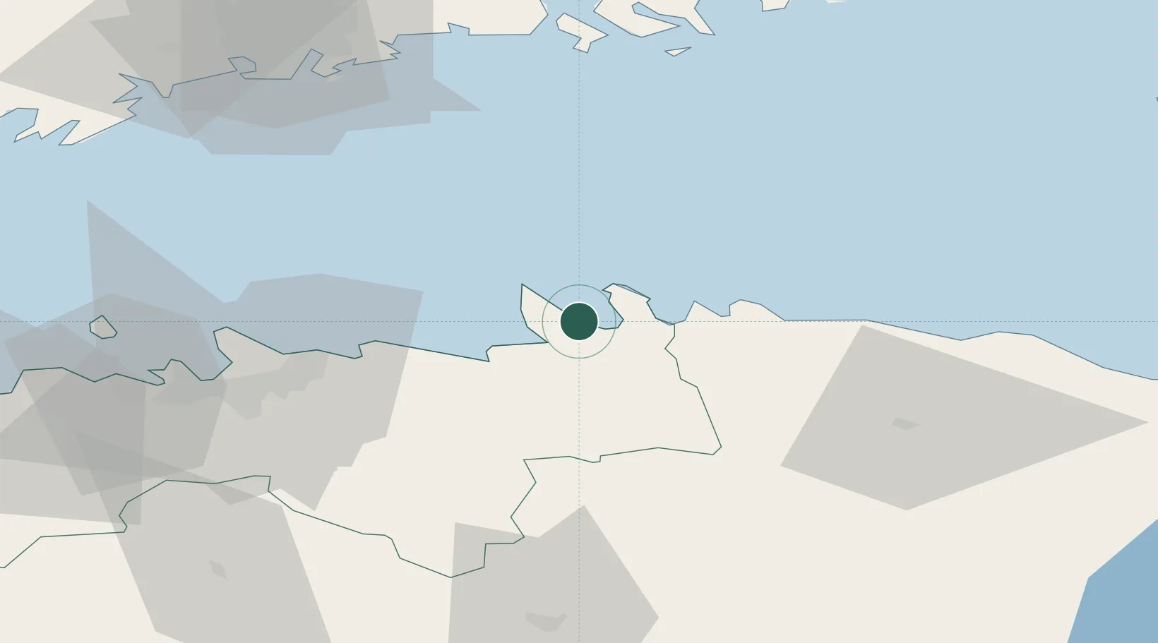
Location
Nearby Logistics Neighbours
Cities
- 1Tapurla3 km
- 2Loksa5 km
- 3Suurpea7 km
- 4Viinistu Sadam11 km
- 5Salmistu17 km
Ports
- 1Loksa5 km
- 2Muuga-Port of Tallin38 km
- 3Miiduranna46 km
- 4Tolkkinen50 km
- 5Vanasadam - Port of Tallinn50 km
Airports
- 1Lennart Meri Tallinn Airport48 km
- 2Tallinn Linnahall Heliport51 km
- 3Ämari Air Base88 km
- 4Helsinki Vantaa Airport90 km
- 5Helsinki East-Redstone Aerodrome113 km
Trade Zones
- 1Muuga Free Zone47 km
- 2Paldiski Free Zone91 km
- 3Port of Sillamäe120 km
- 4Port of Hamina-Kotka123 km
- 5Freeport of Hanko156 km
DatabookThe Record of Consolidated Knowledge
Estonia beyond logistics?