Transport Functions
Port
Hub Profile
Place type
Populated place
Region
Lääne-Virumaa
Time zone
Europe/Tallinn
Elevation
23 m
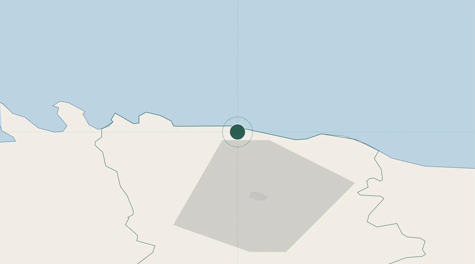
Location
Nearby Logistics Neighbours
Cities
- 1Karepa Sadam7 km
- 2Kunda14 km
- 3Võsu19 km
- 4Kadrina28 km
- 5Viinistu Sadam32 km
Ports
- 1Kunda15 km
- 2Loksa34 km
- 3Tolkkinen66 km
- 4Muuga-Port of Tallin76 km
- 5Sillamae83 km
Airports
- 1Lennart Meri Tallinn Airport85 km
- 2Tallinn Linnahall Heliport88 km
- 3Helsinki East-Redstone Aerodrome103 km
- 4Helsinki Vantaa Airport112 km
- 5Ämari Air Base123 km
Trade Zones
- 1Muuga Free Zone79 km
- 2Port of Sillamäe82 km
- 3Port of Hamina-Kotka106 km
- 4Paldiski Free Zone128 km
- 5Free Zone of Lappeenranta192 km
DatabookThe Record of Consolidated Knowledge
Estonia beyond logistics?