Transport Functions
Port
Hub Profile
Place type
Populated place
Region
Harjumaa
Population
174
Time zone
Europe/Tallinn
Elevation
20 m
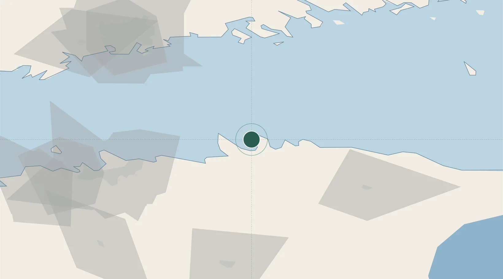
Location
Nearby Logistics Neighbours
Cities
- 1Viinistu Sadam4 km
- 2Loksa6 km
- 3Hara Sadam7 km
- 4Tapurla8 km
- 5Võsu17 km
Ports
- 1Loksa6 km
- 2Muuga-Port of Tallin43 km
- 3Tolkkinen45 km
- 4Kunda50 km
- 5Miiduranna51 km
Airports
- 1Lennart Meri Tallinn Airport54 km
- 2Tallinn Linnahall Heliport56 km
- 3Helsinki Vantaa Airport86 km
- 4Ämari Air Base93 km
- 5Helsinki East-Redstone Aerodrome107 km
Trade Zones
- 1Muuga Free Zone53 km
- 2Paldiski Free Zone97 km
- 3Port of Hamina-Kotka116 km
- 4Port of Sillamäe117 km
- 5Freeport of Hanko158 km
DatabookThe Record of Consolidated Knowledge
Estonia beyond logistics?