Transport Functions
Port
Border Crossing
Hub Profile
Place type
Provincial seat
Region
Harjumaa
Population
3,463
Time zone
Europe/Tallinn
Elevation
11 m
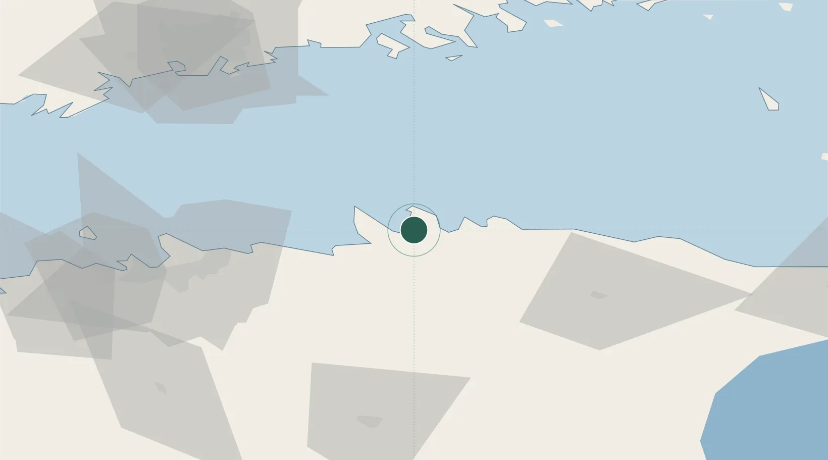
Location
Nearby Logistics Neighbours
Cities
- 1Hara Sadam5 km
- 2Suurpea6 km
- 3Tapurla8 km
- 4Viinistu Sadam8 km
- 5Võsu15 km
Ports
- 1Muuga-Port of Tallin42 km
- 2Kunda48 km
- 3Tolkkinen51 km
- 4Miiduranna51 km
- 5Vanasadam - Port of Tallinn55 km
Airports
- 1Lennart Meri Tallinn Airport53 km
- 2Tallinn Linnahall Heliport56 km
- 3Helsinki Vantaa Airport91 km
- 4Ämari Air Base92 km
- 5Helsinki East-Redstone Aerodrome111 km
Trade Zones
- 1Muuga Free Zone50 km
- 2Paldiski Free Zone96 km
- 3Port of Sillamäe116 km
- 4Port of Hamina-Kotka120 km
- 5Freeport of Hanko160 km
DatabookThe Record of Consolidated Knowledge
Estonia beyond logistics?