UN/LOCODE hub · Estonia
EEVIN

Viinistu Sadam

59.6500°, 25.7500°
1
Transport functions

Transport Functions

Port
UN/LOCODE

Hub Profile

Region
37
GeoNames

Location

Location of EEVIN
Natural Earth 10m (public domain) · 37 · EEVIN · 59.65, 25.75GoogleOSMYandex

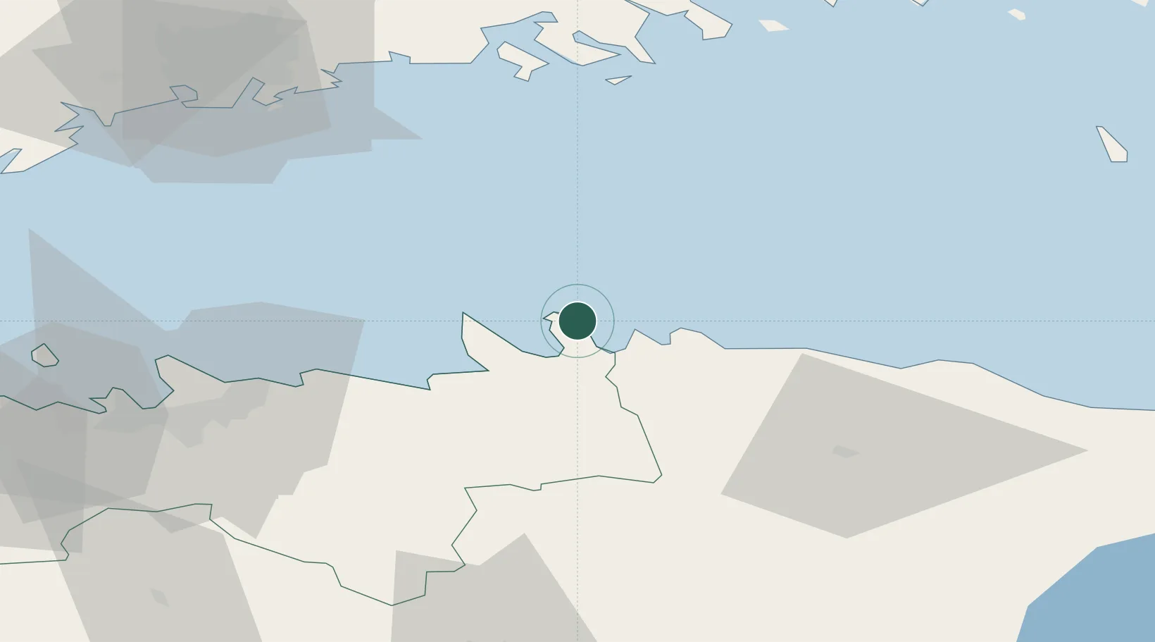
Nearby Logistics Neighbours

Cities
  1. 1Suurpea4 km
  2. 2Loksa8 km
  3. 3Hara Sadam11 km
  4. 4Tapurla12 km
  5. 5Võsu14 km
Nearest neighbours — logibook spatial index (haversine) over the source coordinates
Ports
  1. 1Loksa8 km
  2. 2Tolkkinen44 km
  3. 3Kunda47 km
  4. 4Muuga-Port of Tallin47 km
  5. 5Miiduranna55 km
Nearest neighbours — logibook spatial index (haversine) over the source coordinates
Airports
  1. 1Lennart Meri Tallinn Airport58 km
  2. 2Tallinn Linnahall Heliport61 km
  3. 3Helsinki Vantaa Airport86 km
  4. 4Ämari Air Base98 km
  5. 5Helsinki East-Redstone Aerodrome103 km
Nearest neighbours — logibook spatial index (haversine) over the source coordinates
Trade Zones
  1. 1Muuga Free Zone57 km
  2. 2Paldiski Free Zone101 km
  3. 3Port of Hamina-Kotka113 km
  4. 4Port of Sillamäe114 km
  5. 5Freeport of Hanko162 km
Nearest neighbours — logibook spatial index (haversine) over the source coordinates
DatabookThe Record of Consolidated Knowledge
Estonia beyond logistics?
Browse databook

All Sources

LocationsUN/LOCODE
UN/LOCODE — free
Portsthe NGA World Port Index
Public domain (US gov)
AirportsOurAirports
Public domain
Trade Zonesthe World Bank SEZ database
CC BY 4.0
Trade ZonesOpen Zone Map
CC BY
← Estonia locations