Transport Functions
Port
Road
Hub Profile
Place type
Populated place
Region
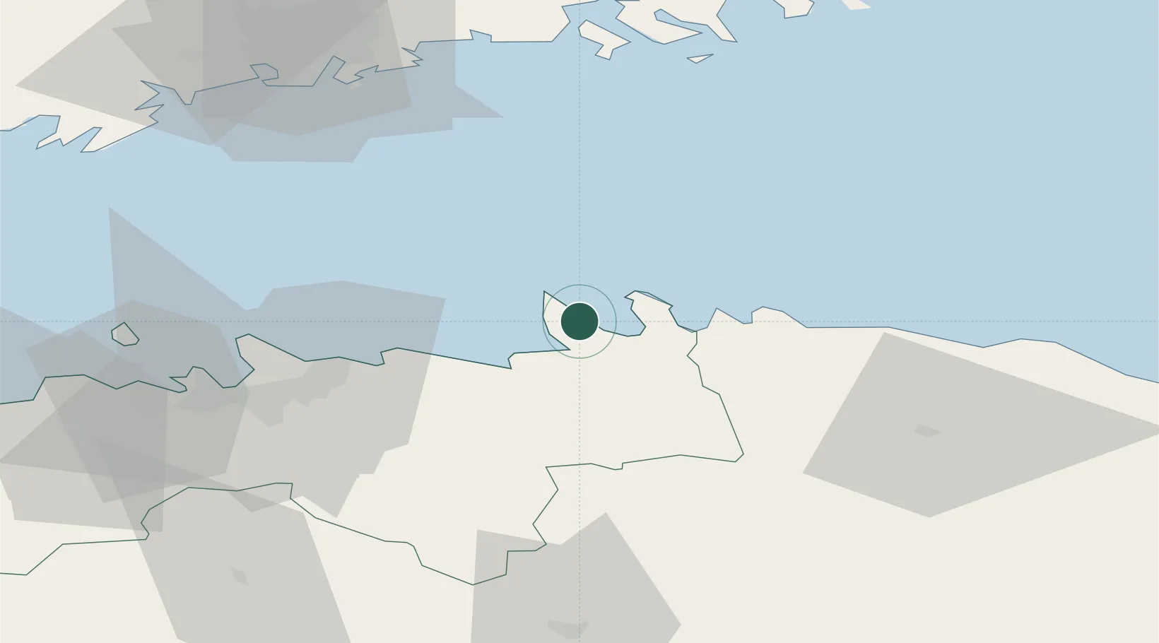
Harjumaa
Time zone
Europe/Tallinn
Elevation
29 m
Location
Nearby Logistics Neighbours
Cities
- 1Hara Sadam3 km
- 2Suurpea8 km
- 3Loksa8 km
- 4Viinistu Sadam12 km
- 5Salmistu16 km
Ports
- 1Loksa8 km
- 2Muuga-Port of Tallin36 km
- 3Miiduranna44 km
- 4Vanasadam - Port of Tallinn48 km
- 5Tolkkinen48 km
Airports
- 1Lennart Meri Tallinn Airport46 km
- 2Tallinn Linnahall Heliport49 km
- 3Ämari Air Base86 km
- 4Helsinki Vantaa Airport87 km
- 5Helsinki East-Redstone Aerodrome113 km
Trade Zones
- 1Muuga Free Zone46 km
- 2Paldiski Free Zone89 km
- 3Port of Hamina-Kotka123 km
- 4Port of Sillamäe123 km
- 5Freeport of Hanko153 km
DatabookThe Record of Consolidated Knowledge
Estonia beyond logistics?