Transport Functions
Port
Hub Profile
Place type
Populated place
Region
Harjumaa
Time zone
Europe/Tallinn
Elevation
23 m
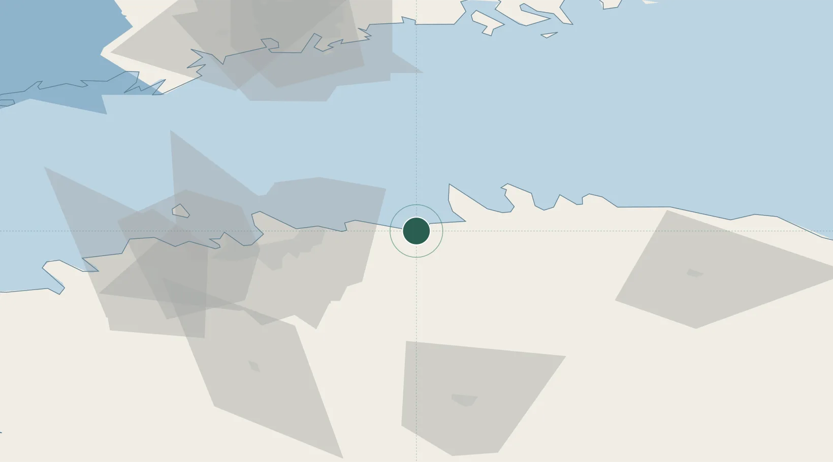
Location
Nearby Logistics Neighbours
Cities
- 1Kaberneeme Sadam5 km
- 2Neeme12 km
- 3Tapurla16 km
- 4Koljunuki16 km
- 5Hara Sadam17 km
Ports
- 1Loksa21 km
- 2Muuga-Port of Tallin23 km
- 3Miiduranna31 km
- 4Vanasadam - Port of Tallinn34 km
- 5Paljassaare38 km
Airports
- 1Lennart Meri Tallinn Airport32 km
- 2Tallinn Linnahall Heliport35 km
- 3Ämari Air Base71 km
- 4Helsinki Vantaa Airport94 km
- 5Helsinki East-Redstone Aerodrome129 km
Trade Zones
- 1Muuga Free Zone30 km
- 2Paldiski Free Zone75 km
- 3Port of Sillamäe133 km
- 4Port of Hamina-Kotka139 km
- 5Freeport of Hanko144 km
DatabookThe Record of Consolidated Knowledge
Estonia beyond logistics?