Transport Functions
Port
Border Crossing
Hub Profile
Place type
Provincial seat
Region
Lääne-Virumaa
Population
2,865
Time zone
Europe/Tallinn
Elevation
46 m
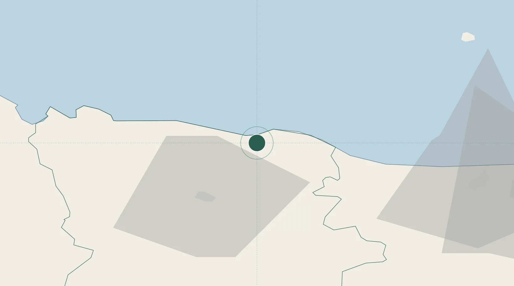
Location
Nearby Logistics Neighbours
Cities
- 1Karepa Sadam8 km
- 2Eisma14 km
- 3Aseri20 km
- 4Aseri Väikesadam20 km
- 5Sonda27 km
Ports
- 1Loksa48 km
- 2Sillamae69 km
- 3Tolkkinen78 km
- 4Muuga-Port of Tallin88 km
- 5Miiduranna97 km
Airports
- 1Lennart Meri Tallinn Airport97 km
- 2Tallinn Linnahall Heliport101 km
- 3Helsinki East-Redstone Aerodrome107 km
- 4Smuravyovo Air Base115 km
- 5Helsinki Vantaa Airport125 km
Trade Zones
- 1Port of Sillamäe68 km
- 2Muuga Free Zone90 km
- 3Port of Hamina-Kotka108 km
- 4Paldiski Free Zone140 km
- 5Free Zone of Lappeenranta190 km
DatabookThe Record of Consolidated Knowledge
Estonia beyond logistics?