Transport Functions
Rail
Road
Hub Profile
Place type
Provincial seat
Region
Lääne-Virumaa
Population
2,406
Time zone
Europe/Tallinn
Elevation
93 m
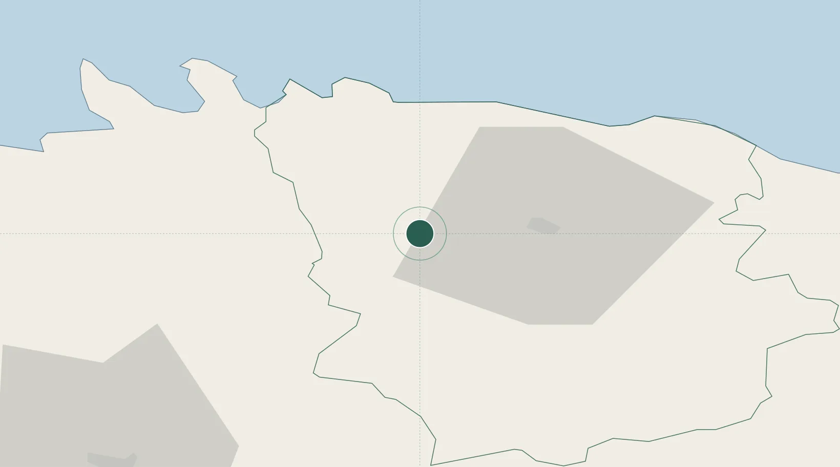
Location
Nearby Logistics Neighbours
Cities
- 1Tapa12 km
- 2Tamsalu21 km
- 3Eisma28 km
- 4Karepa Sadam29 km
- 5Võsu29 km
Ports
- 1Kunda32 km
- 2Loksa37 km
- 3Muuga-Port of Tallin69 km
- 4Miiduranna77 km
- 5Vanasadam - Port of Tallinn79 km
Airports
- 1Lennart Meri Tallinn Airport74 km
- 2Tallinn Linnahall Heliport79 km
- 3Ämari Air Base110 km
- 4Tartu Airport118 km
- 5Smuravyovo Air Base122 km
Trade Zones
- 1Muuga Free Zone64 km
- 2Port of Sillamäe91 km
- 3Paldiski Free Zone117 km
- 4Port of Hamina-Kotka134 km
- 5Freeport of Hanko191 km
DatabookThe Record of Consolidated Knowledge
Estonia beyond logistics?