Seaport · Estonia

SillamaeEESLM

59.4261°, 27.7395°
16.3 m
Channel depth
12.0
Port liner connectivity
Sillamae is also a UN/LOCODE logistics hub →

Channel & Berth Profile

SEA LEVEL (CD)CHANNEL BEDCargo pier · 15.3 mOil terminal · 15.8 mChannel · 16.3 m
NGA World Port Index

Pilotage, Tugs & Services

Pilotage compulsoryYES
Pilotage availableYES
Pilotage advisableYES
Tug assistanceYES
Shore powerYES
Potable waterYES
Diesel bunkersYES
MedicalNO
Garbage disposalYES
NGA World Port Index

Facilities & Capabilities

ContainerYES
Ro-RoYES
Liquid bulkYES
Dry bulkYES
Oil terminalNO
Break bulkYES
Dry dock
RepairsNO
BunkeringYES
Rail linkYES
Dangerous cargoALLOW
ISPS securityYES
NGA World Port Index

Harbour Specifications

Harbour size
Large
NGA World Port Index
Harbour type
Coastal (Breakwater)
NGA World Port Index
Shelter
Good
NGA World Port Index
Water body
Gulf of Finland; Baltic Sea; North Atlantic Ocean
NGA World Port Index
Overhead limit
No
NGA World Port Index
Pilotage
Yes
NGA World Port Index

Liner Connectivity

12
PLSCI

Port Liner Shipping Connectivity Index for Sillamae, as published by UNCTAD for the latest available quarter. Higher values indicate stronger scheduled liner-shipping integration.

Shown relative to the highest per-port PLSCI in the dataset (1,657.9).
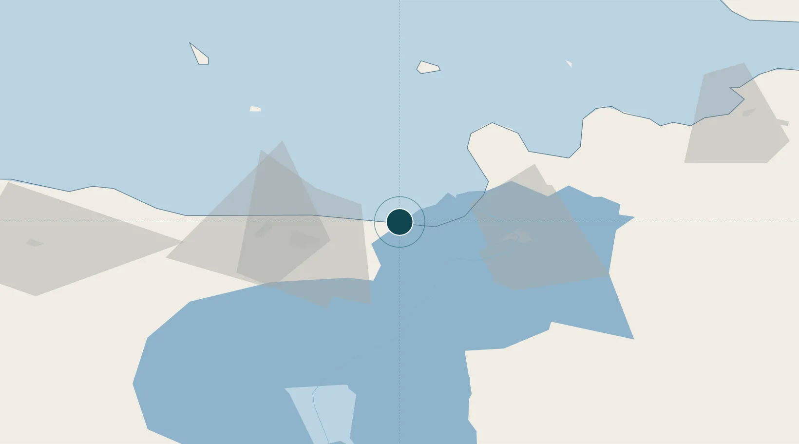
UNCTAD · Port Liner Shipping Connectivity Index

Location

Location of EESLM
Natural Earth 10m (public domain) · Ida-Viru · EESLM · 59.43, 27.74GoogleOSMYandex

Nearby Logistics Neighbours

Ports
  1. 1Ust Luga42 km
  2. 2Kunda68 km
  3. 3Primorsk116 km
  4. 4Loksa117 km
  5. 5Kotka123 km
Nearest neighbours — logibook spatial index (haversine) over the source coordinates
Cities
  1. 1Vaivara7 km
  2. 2Toila12 km
  3. 3Narva-Jõesuu Sadam18 km
  4. 4Suur-Lootsi18 km
  5. 5Jõhvi20 km
Nearest neighbours — logibook spatial index (haversine) over the source coordinates
Airports
  1. 1Smuravyovo Air Base70 km
  2. 2Pribylovo Naval Air Base128 km
  3. 3Helsinki East-Redstone Aerodrome133 km
  4. 4Tartu Airport138 km
  5. 5Lennart Meri Tallinn Airport164 km
Nearest neighbours — logibook spatial index (haversine) over the source coordinates
Trade Zones
  1. 1Port of Sillamäe1 km
  2. 2Port of Hamina-Kotka124 km
  3. 3St Petersburg Technology Innovative Special Economic Zone135 km
  4. 4Muuga Free Zone155 km
  5. 5Free Zone of Lappeenranta181 km
Nearest neighbours — logibook spatial index (haversine) over the source coordinates
DatabookThe Record of Consolidated Knowledge
Estonia beyond logistics?
Browse databook

All Sources

Portsthe NGA World Port Index
Public domain (US gov)
Logistics performanceUNCTAD
CC BY 3.0 IGO
AirportsOurAirports
Public domain
LocationsUN/LOCODE
UN/LOCODE — free
Trade Zonesthe World Bank SEZ database
CC BY 4.0
Trade ZonesOpen Zone Map
CC BY
← Estonia ports