Transport Functions
Port
Hub Profile
Region
60
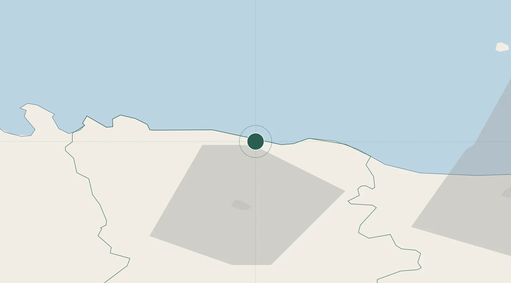
Location
Nearby Logistics Neighbours
Cities
- 1Eisma7 km
- 2Kunda8 km
- 3Võsu26 km
- 4Aseri28 km
- 5Aseri Väikesadam28 km
Ports
- 1Kunda8 km
- 2Loksa41 km
- 3Tolkkinen71 km
- 4Sillamae76 km
- 5Muuga-Port of Tallin82 km
Airports
- 1Lennart Meri Tallinn Airport91 km
- 2Tallinn Linnahall Heliport95 km
- 3Helsinki East-Redstone Aerodrome104 km
- 4Helsinki Vantaa Airport118 km
- 5Smuravyovo Air Base122 km
Trade Zones
- 1Port of Sillamäe75 km
- 2Muuga Free Zone84 km
- 3Port of Hamina-Kotka106 km
- 4Paldiski Free Zone134 km
- 5Free Zone of Lappeenranta190 km
DatabookThe Record of Consolidated Knowledge
Estonia beyond logistics?