Transport Functions
Rail
Road
Hub Profile
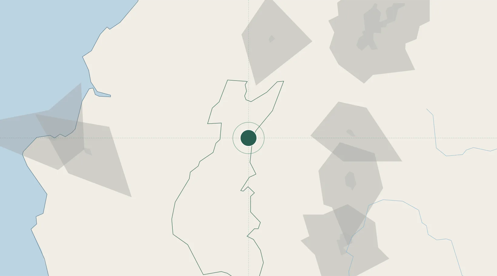
Place type
Provincial seat
Region
Los Ríos
Population
18,841
Time zone
America/Guayaquil
Elevation
163 m
Location
Nearby Logistics Neighbours
Cities
- 1Quevedo16 km
- 2Guayas24 km
- 3Velasco Ibarra33 km
- 4El Carmen77 km
- 5Santo Domingo80 km
Ports
- 1Guayaquil152 km
- 2Manta154 km
- 3Puerto Maritimo De Guayaquil161 km
- 4Esmeraldas220 km
- 5La Libertad225 km
Airports
Trade Zones
- 1Zona Franca Millestonecorp128 km
- 2Metrozona Quito141 km
- 3Zona Franca Mitad del Mundo141 km
- 4Corpaq Tabalela (Quiport)142 km
- 5Zona Franca Esmeraldas150 km
DatabookThe Record of Consolidated Knowledge
Ecuador beyond logistics?