Transport Functions
Road
Multimodal
Hub Profile
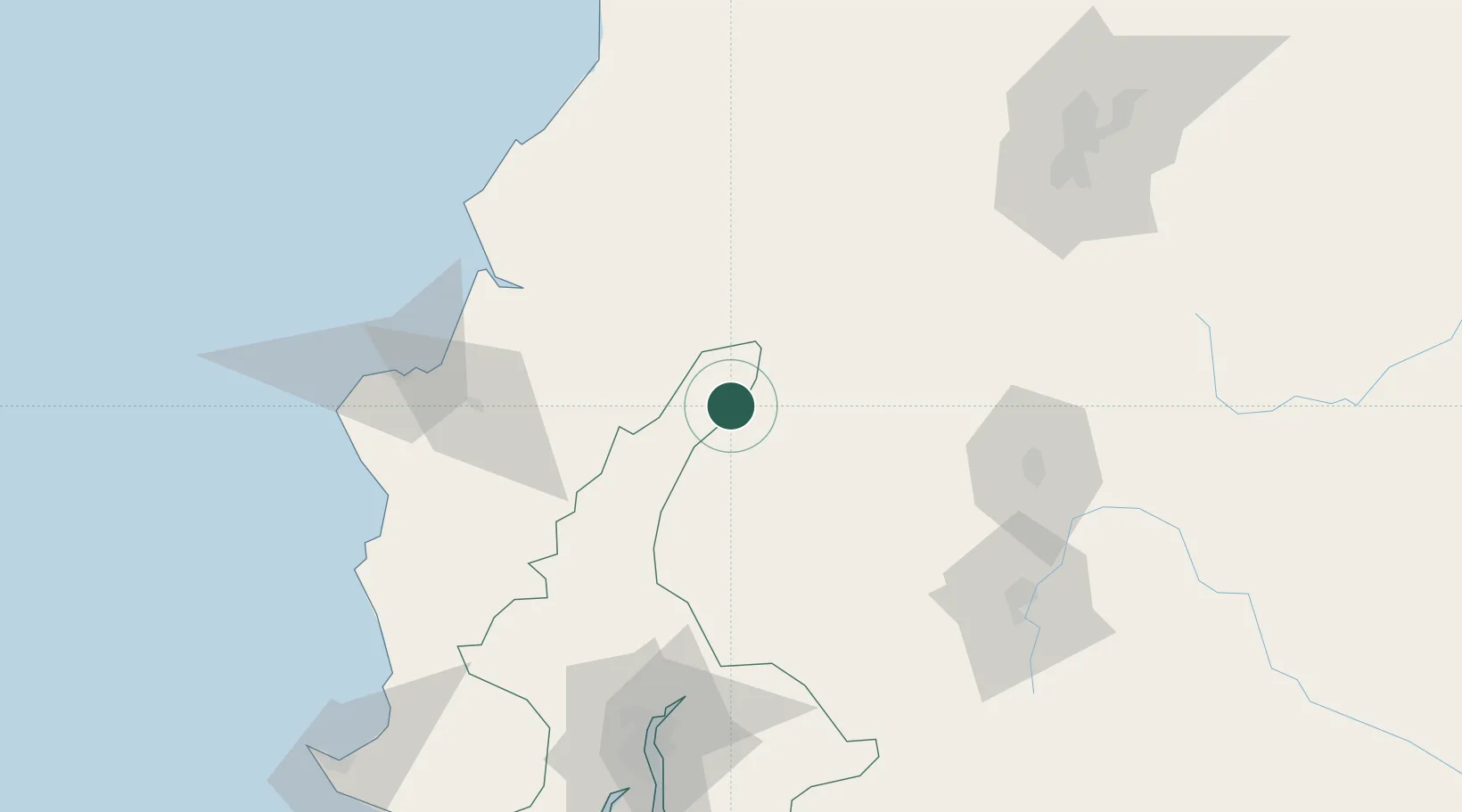
Place type
Populated place
Region
Santo Domingo de los Tsáchilas
Time zone
America/Guayaquil
Elevation
452 m
Location
Nearby Logistics Neighbours
Ports
- 1Manta123 km
- 2Guayaquil131 km
- 3Puerto Maritimo De Guayaquil141 km
- 4La Libertad194 km
- 5Esmeraldas228 km
Airports
Trade Zones
- 1Zona Franca Manabí119 km
- 2Zona Franca de Manta125 km
- 3Zona Franca Esmeraldas128 km
- 4Contecon Guayaquil Free Zone140 km
- 5Zona Franca Millestonecorp159 km
DatabookThe Record of Consolidated Knowledge
Ecuador beyond logistics?