Large airport · Ecuador
José Joaquín de Olmedo International AirportSEGU
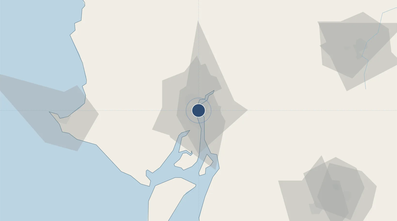
-2.1574°, -79.8836°
9,154 ft
Longest runway
1
Runways
19 ft
Elevation
Runway & Layout

Radio Frequencies
ATIS
115.9 MHz
TWR
118.3 MHz
GUAYAQUIL TWR
GND
121.9 MHz
APP
119.3 MHz
GUAYAQUIL APP
ACE
123.45 MHz
Aero Club del Ecuador (Internal Freq)
RDO
126.9 MHz
RDO
1002.4 MHz
Navaids
GYV VOR-DME Guayaquil 115.90 MHz
PAL NDB Palma 365 kHz
R NDB Guayaquil 315 kHz
SOL NDB Chongon 280 kHz
Runways · 1
| Runway | Dimensions | Surface | True heading | Lit |
|---|---|---|---|---|
| 03/21 | 9,154 × 151ft | Asphalt | 031° | ✓ |
Airport Specifications
IATA code
GYE
ICAO code
SEGU
Airport class
Large airport
Scheduled service
Yes
Runway surface
Asphalt
Served city
Guayaquil
Location
Nearby Logistics Neighbours
Airports
Cities
- 1La Puntilla2 km
- 2Samborondon3 km
- 3Guayaquil5 km
- 4Durán7 km
- 5Puerto Nuevo8 km
Ports
- 1Guayaquil5 km
- 2Puerto Maritimo De Guayaquil14 km
- 3La Libertad115 km
- 4Puerto Bolivar124 km
- 5Manta163 km
Trade Zones
- 1Zona Franca Esmeraldas5 km
- 2Contecon Guayaquil Free Zone14 km
- 3DP World Posorja72 km
- 4Posorja ZofraPort SA Free Zone73 km
- 5Zona Franca del Oro127 km
DatabookThe Record of Consolidated Knowledge
Ecuador beyond logistics?