Medium airport · Ecuador

Reales Tamarindos AirportSEPV
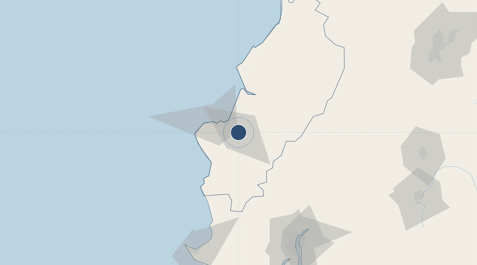
-1.0416°, -80.4722°
7,451 ft
Longest runway
1
Runways
130 ft
Elevation

Runway & Layout

Reales Tamarindos Airport runway & taxiway layout
Runway & taxiway layout — OpenStreetMap (ODbL) / OurAirports

Radio Frequencies

TWR
122.1 MHz
PORTOVIEJO TWR
OurAirports

Navaids

PTN NDB Portoviejo 390 kHz
OurAirports

Runways · 1

RunwayDimensions SurfaceTrue headingLit
12/30 7,451 × 89ft Asphalt 128°
OurAirports

Airport Specifications

IATA code
PVO
OurAirports
ICAO code
SEPV
OurAirports
Airport class
Medium airport
OurAirports
Scheduled service
No
OurAirports
Runway surface
Asphalt
OurAirports
Served city
Portoviejo
OurAirports

Location

Location of SEPV
Natural Earth 10m (public domain) · Manabi · SEPV · -1.04, -80.47GoogleOSMYandex

Nearby Logistics Neighbours

Airports
  1. 1Eloy Alfaro International Airport25 km
  2. 2José Joaquín de Olmedo International Airport140 km
  3. 3General Ulpiano Paez International Airport142 km
  4. 4Cotopaxi International Airport207 km
  5. 5Chachoán Regional Airport212 km
Nearest neighbours — logibook spatial index (haversine) over the source coordinates
Cities
  1. 1Montecristi22 km
  2. 2Manta31 km
  3. 3Jipijapa35 km
  4. 4Bahía de Caráquez55 km
  5. 5Chone57 km
Nearest neighbours — logibook spatial index (haversine) over the source coordinates
Ports
  1. 1Manta29 km
  2. 2La Libertad140 km
  3. 3Guayaquil145 km
  4. 4Puerto Maritimo De Guayaquil152 km
  5. 5Esmeraldas245 km
Nearest neighbours — logibook spatial index (haversine) over the source coordinates
Trade Zones
  1. 1Zona Franca Manabí25 km
  2. 2Zona Franca de Manta31 km
  3. 3Zona Franca Esmeraldas139 km
  4. 4Contecon Guayaquil Free Zone152 km
  5. 5DP World Posorja185 km
Nearest neighbours — logibook spatial index (haversine) over the source coordinates
DatabookThe Record of Consolidated Knowledge
Ecuador beyond logistics?
Browse databook

All Sources

AirportsOurAirports
Public domain
Portsthe NGA World Port Index
Public domain (US gov)
LocationsUN/LOCODE
UN/LOCODE — free
Trade Zonesthe World Bank SEZ database
CC BY 4.0
Trade ZonesOpen Zone Map
CC BY
InfrastructureOpenStreetMap
ODbL 1.0
← Ecuador airports