Transport Functions
Port
Multimodal
Hub Profile
Place type
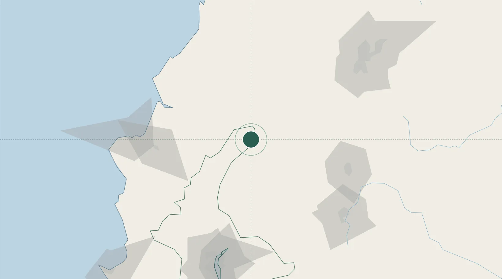
Populated place
Region
Guayas
Time zone
America/Guayaquil
Elevation
50 m
Location
Nearby Logistics Neighbours
Cities
- 1Velasco Ibarra12 km
- 2Quevedo13 km
- 3Valencia24 km
- 4Chone69 km
- 5El Carmen79 km
Ports
- 1Manta130 km
- 2Guayaquil142 km
- 3Puerto Maritimo De Guayaquil152 km
- 4La Libertad206 km
- 5Esmeraldas219 km
Airports
Trade Zones
- 1Zona Franca Manabí127 km
- 2Zona Franca de Manta132 km
- 3Zona Franca Esmeraldas139 km
- 4Zona Franca Millestonecorp148 km
- 5Contecon Guayaquil Free Zone151 km
DatabookThe Record of Consolidated Knowledge
Ecuador beyond logistics?