Transport Functions
Road
Multimodal
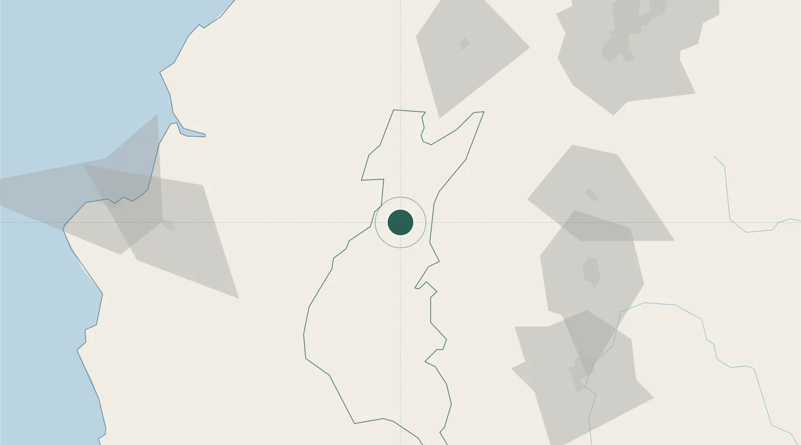
Hub Profile
Place type
Provincial seat
Region
Los Ríos
Population
213,842
Time zone
America/Guayaquil
Elevation
51 m
Location
Nearby Logistics Neighbours
Cities
- 1Guayas13 km
- 2Valencia16 km
- 3Velasco Ibarra19 km
- 4Chone82 km
- 5El Carmen85 km
Ports
- 1Guayaquil138 km
- 2Manta141 km
- 3Puerto Maritimo De Guayaquil148 km
- 4La Libertad210 km
- 5Esmeraldas227 km
Airports
Trade Zones
- 1Zona Franca Esmeraldas136 km
- 2Zona Franca Manabí138 km
- 3Zona Franca de Manta143 km
- 4Zona Franca Millestonecorp144 km
- 5Contecon Guayaquil Free Zone148 km
DatabookThe Record of Consolidated Knowledge
Ecuador beyond logistics?