Transport Functions
Multimodal
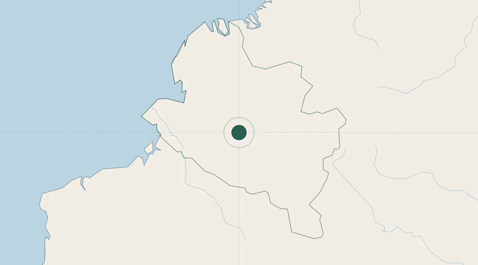
Hub Profile
Place type
Regional capital
Region
Pastaza Province
Population
24,881
Time zone
America/Guayaquil
Elevation
1,058 m
Location
Nearby Logistics Neighbours
Cities
- 1Chambo73 km
- 2San Lorenzo98 km
- 3Balboa106 km
- 4Cotacachi134 km
- 5Puerto Limón171 km
Ports
- 1Tumaco94 km
- 2Esmeraldas192 km
- 3Buenaventura287 km
- 4Manta406 km
- 5Guayaquil459 km
Airports
Trade Zones
- 1Zona Franca Mitad del Mundo172 km
- 2Corpaq Tabalela (Quiport)182 km
- 3Metrozona Quito185 km
- 4Zona Franca Millestonecorp191 km
- 5Zona Franca Parque Sur254 km
DatabookThe Record of Consolidated Knowledge
Ecuador beyond logistics?