Transport Functions
Multimodal
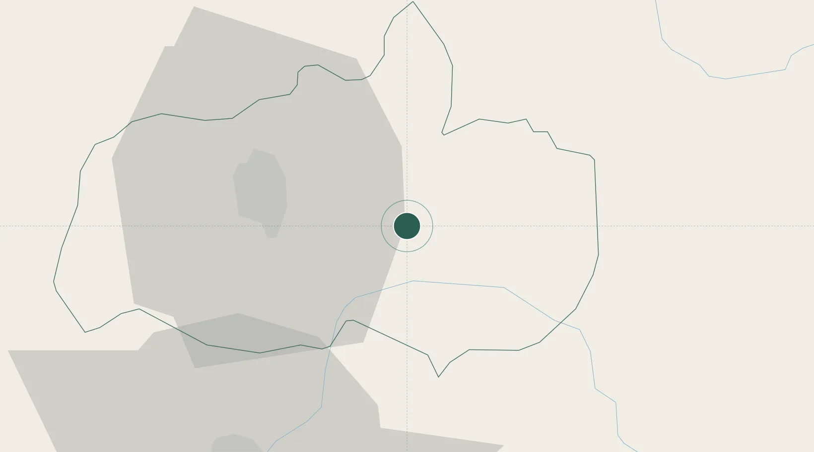
Hub Profile
Place type
District seat
Region
Tungurahua Province
Time zone
America/Guayaquil
Elevation
2,801 m
Location
Nearby Logistics Neighbours
Ports
- 1Guayaquil193 km
- 2Puerto Maritimo De Guayaquil199 km
- 3Manta261 km
- 4Puerto Bolivar282 km
- 5Esmeraldas291 km
Airports
Trade Zones
- 1Zona Franca Millestonecorp126 km
- 2Metrozona Quito128 km
- 3Corpaq Tabalela (Quiport)131 km
- 4Zona Franca Mitad del Mundo145 km
- 5Zona Franca Esmeraldas195 km
DatabookThe Record of Consolidated Knowledge
Ecuador beyond logistics?