Transport Functions
Rail
Hub Profile
Place type
Provincial seat
Region
Tungurahua Province
Population
16,572
Time zone
America/Guayaquil
Elevation
2,515 m
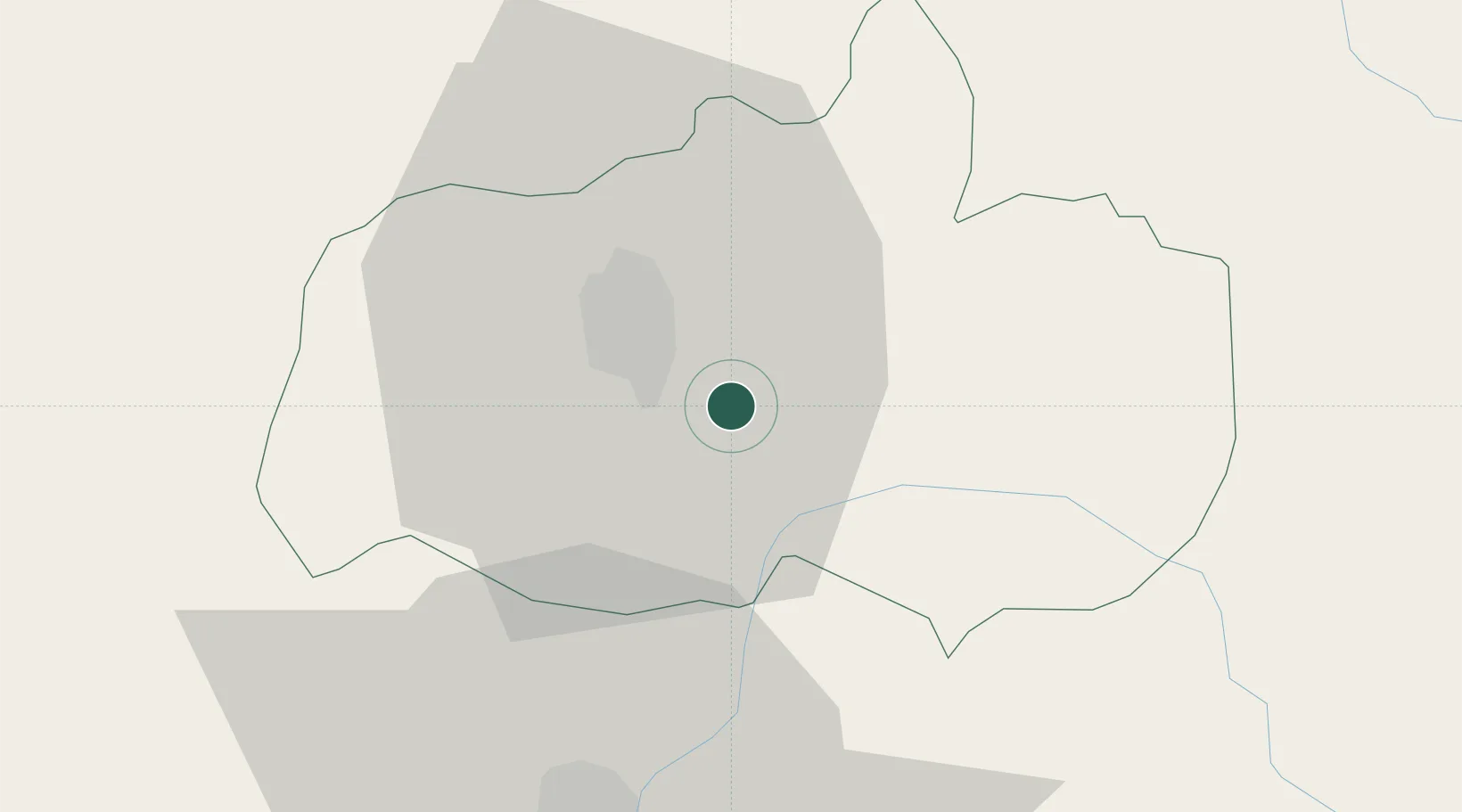
Location
Nearby Logistics Neighbours
Cities
- 1El Triunfo15 km
- 2Tisaleo15 km
- 3Guano32 km
- 4Tena88 km
- 5Machachi91 km
Ports
- 1Guayaquil179 km
- 2Puerto Maritimo De Guayaquil186 km
- 3Manta246 km
- 4Puerto Bolivar271 km
- 5La Libertad283 km
Airports
- 1Chachoán Regional Airport13 km
- 2Cotopaxi International Airport47 km
- 3Jumandy Airport110 km
- 4Coronel E Carvajal Airport119 km
- 5Mariscal Sucre International Airport134 km
Trade Zones
- 1Zona Franca Millestonecorp127 km
- 2Metrozona Quito131 km
- 3Corpaq Tabalela (Quiport)134 km
- 4Zona Franca Mitad del Mundo147 km
- 5Zona Franca Esmeraldas181 km
DatabookThe Record of Consolidated Knowledge
Ecuador beyond logistics?