Medium airport · Colombia

Antonio Nariño AirportSKPS
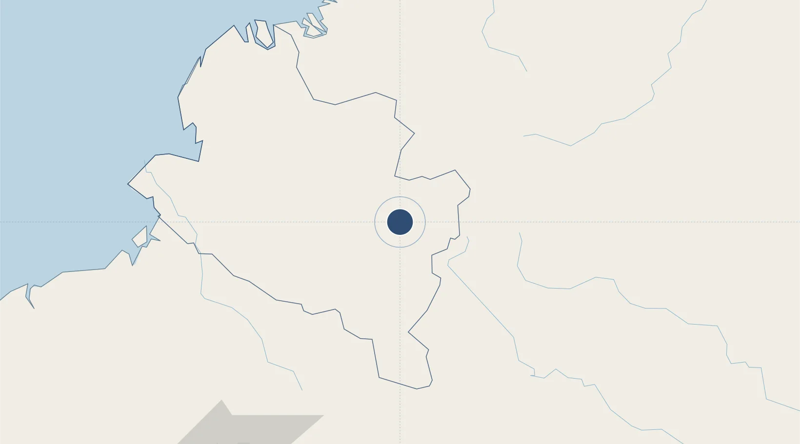
1.3967°, -77.2909°
7,585 ft
Longest runway
1
Runways
5,951 ft
Elevation

Runway & Layout

Antonio Nariño Airport runway & taxiway layout
Runway & taxiway layout — OpenStreetMap (ODbL) / OurAirports

Radio Frequencies

TWR
118 MHz
RDO
348.8 MHz
PASTO RDO
OurAirports

Navaids

PSO VOR-DME Pasto 113.40 MHz
PSO NDB Pasto 264 kHz
OurAirports

Runways · 1

RunwayDimensions SurfaceTrue headingLit
02/20 7,585 × 130ft Asphalt 016°
OurAirports

Airport Specifications

IATA code
PSO
OurAirports
ICAO code
SKPS
OurAirports
Airport class
Medium airport
OurAirports
Scheduled service
Yes
OurAirports
Runway surface
Asphalt
OurAirports
Served city
Chachagüí
OurAirports

Location

Location of SKPS
Natural Earth 10m (public domain) · Nariño · SKPS · 1.40, -77.29GoogleOSMYandex

Nearby Logistics Neighbours

Airports
  1. 1San Luis Airport73 km
  2. 2Lieutenant Colonel Luis A. Mantilla International Airport80 km
  3. 3Tres De Mayo Airport133 km
  4. 4Guillermo León Valencia Airport140 km
  5. 5Pitalito Airport143 km
Nearest neighbours — logibook spatial index (haversine) over the source coordinates
Cities
  1. 1Balboa71 km
  2. 2Puyo77 km
  3. 3Puerto Limón96 km
  4. 4Puerto Asís132 km
  5. 5Cauca143 km
Nearest neighbours — logibook spatial index (haversine) over the source coordinates
Ports
  1. 1Tumaco169 km
  2. 2Esmeraldas266 km
  3. 3Buenaventura278 km
  4. 4Manta462 km
  5. 5Guayaquil493 km
Nearest neighbours — logibook spatial index (haversine) over the source coordinates
Trade Zones
  1. 1Zona Franca Mitad del Mundo205 km
  2. 2Corpaq Tabalela (Quiport)207 km
  3. 3Metrozona Quito209 km
  4. 4Zona Franca Parque Sur218 km
  5. 5Zona Franca Millestonecorp219 km
Nearest neighbours — logibook spatial index (haversine) over the source coordinates
DatabookThe Record of Consolidated Knowledge
Colombia beyond logistics?
Browse databook

All Sources

AirportsOurAirports
Public domain
Portsthe NGA World Port Index
Public domain (US gov)
LocationsUN/LOCODE
UN/LOCODE — free
Trade Zonesthe World Bank SEZ database
CC BY 4.0
Trade ZonesOpen Zone Map
CC BY
InfrastructureOpenStreetMap
ODbL 1.0
← Colombia airports