UN/LOCODE hub · Algeria
DZSBA
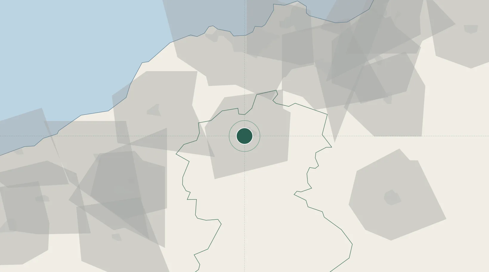
Sidi Bel Abbes
35.1833°, -0.6333°
210,146
Population
2
Transport functions
Transport Functions
Road
Multimodal
Hub Profile
Place type
Regional capital
Region
Sidi Bel Abbès
Population
210,146
Time zone
Africa/Algiers
Elevation
492 m
Location
Nearby Logistics Neighbours
Cities
- 1Es Senia52 km
- 2Oran53 km
- 3Oran Dry Port56 km
- 4Corinth63 km
- 5Benisaf69 km
Ports
- 1Oran58 km
- 2Beni Saf69 km
- 3Arzew80 km
- 4Mostaganem106 km
- 5Ghazaouet113 km
Airports
Trade Zones
- 1Berkane Agro-Pole156 km
- 2Melilla Autonomous Community210 km
- 3Nador WestMed Free Zone231 km
- 4Ait Kamra Economic Activity Zone304 km
- 5Depósito Franco de Alicante351 km
DatabookThe Record of Consolidated Knowledge
Algeria beyond logistics?