Medium airport · Algeria
Ghriss AirportDAOV
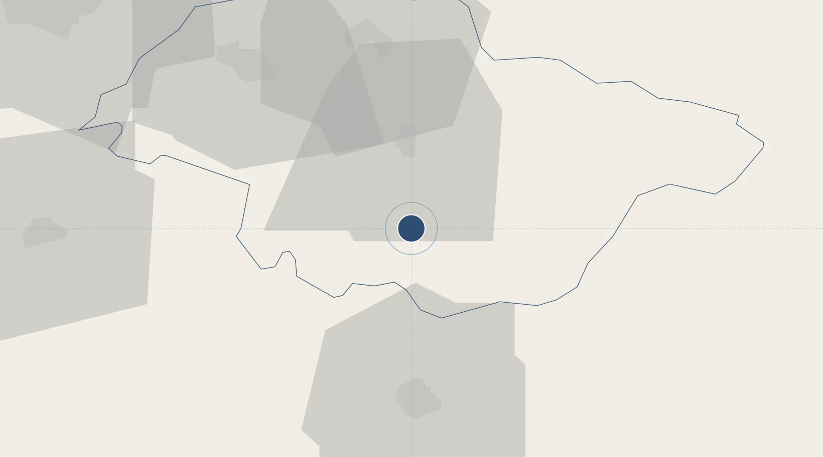
35.2077°, 0.1471°
5,577 ft
Longest runway
1
Runways
1,686 ft
Elevation
Runway & Layout

Radio Frequencies
TWR
119.7 MHz
Navaids
GRS VOR Ghriss 113.10 MHz
GRS NDB Ghriss 424 kHz
Runways · 1
| Runway | Dimensions | Surface | True heading | Lit |
|---|---|---|---|---|
| 08/26 | 5,577 × 98ft | Asphalt | 080° | — |
Airport Specifications
IATA code
MUW
ICAO code
DAOV
Airport class
Medium airport
Scheduled service
No
Runway surface
Asphalt
Served city
Ghriss
Location
Nearby Logistics Neighbours
Airports
Cities
- 1Corinth35 km
- 2Sidi Bel Abbes71 km
- 3Bethioua76 km
- 4Arzew83 km
- 5Oran86 km
Ports
- 1Mostaganem81 km
- 2Arzew82 km
- 3Oran89 km
- 4Beni Saf139 km
- 5Tenes181 km
Trade Zones
- 1Berkane Agro-Pole227 km
- 2Melilla Autonomous Community280 km
- 3Nador WestMed Free Zone301 km
- 4Depósito Franco de Alicante352 km
- 5Ait Kamra Economic Activity Zone375 km
DatabookThe Record of Consolidated Knowledge
Algeria beyond logistics?