Transport Functions
Multimodal
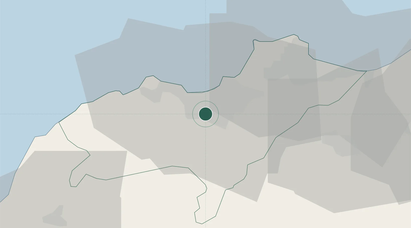
Hub Profile
Place type
Populated place
Region
Oran
Population
39,064
Time zone
Africa/Algiers
Elevation
88 m
Location
Nearby Logistics Neighbours
Cities
- 1Oran2 km
- 2Oran Dry Port4 km
- 3Bethioua37 km
- 4Arzew38 km
- 5Sidi Bel Abbes52 km
Ports
- 1Oran6 km
- 2Arzew37 km
- 3Mostaganem72 km
- 4Beni Saf78 km
- 5Ghazaouet128 km
Airports
Trade Zones
- 1Berkane Agro-Pole172 km
- 2Melilla Autonomous Community213 km
- 3Nador WestMed Free Zone234 km
- 4Depósito Franco de Alicante299 km
- 5Ait Kamra Economic Activity Zone308 km
DatabookThe Record of Consolidated Knowledge
Algeria beyond logistics?