Transport Functions
Port
Rail
Road
Hub Profile
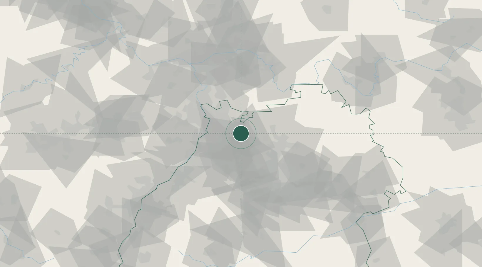
Place type
Local administrative seat
Region
Baden-Wurttemberg
Population
2,083
Time zone
Europe/Berlin
Elevation
149 m
Location
Nearby Logistics Neighbours
Cities
- 1Meckesheim4 km
- 2Eschelbronn4 km
- 3Dielheim6 km
- 4Reichartshausen11 km
- 5Helmstadt-Bargen12 km
Airports
- 1Mannheim-City Airport30 km
- 2Stuttgart Airport72 km
- 3Adolf Würth Airport73 km
- 4Frankfurt-Egelsbach Airport76 km
- 5Karlsruhe Baden-Baden Airport78 km
Trade Zones
- 1ZFU Hautepierre112 km
- 2ZFU Neuhof113 km
- 3ZFU La Cité Behren-lès-Forbach138 km
- 4Luxembourg Free Port192 km
- 5ZFU Metz194 km
DatabookThe Record of Consolidated Knowledge
Germany beyond logistics?