Transport Functions
Multimodal
Hub Profile
Place type
Local administrative seat
Region
Baden-Wurttemberg
Population
2,572
Time zone
Europe/Berlin
Elevation
160 m
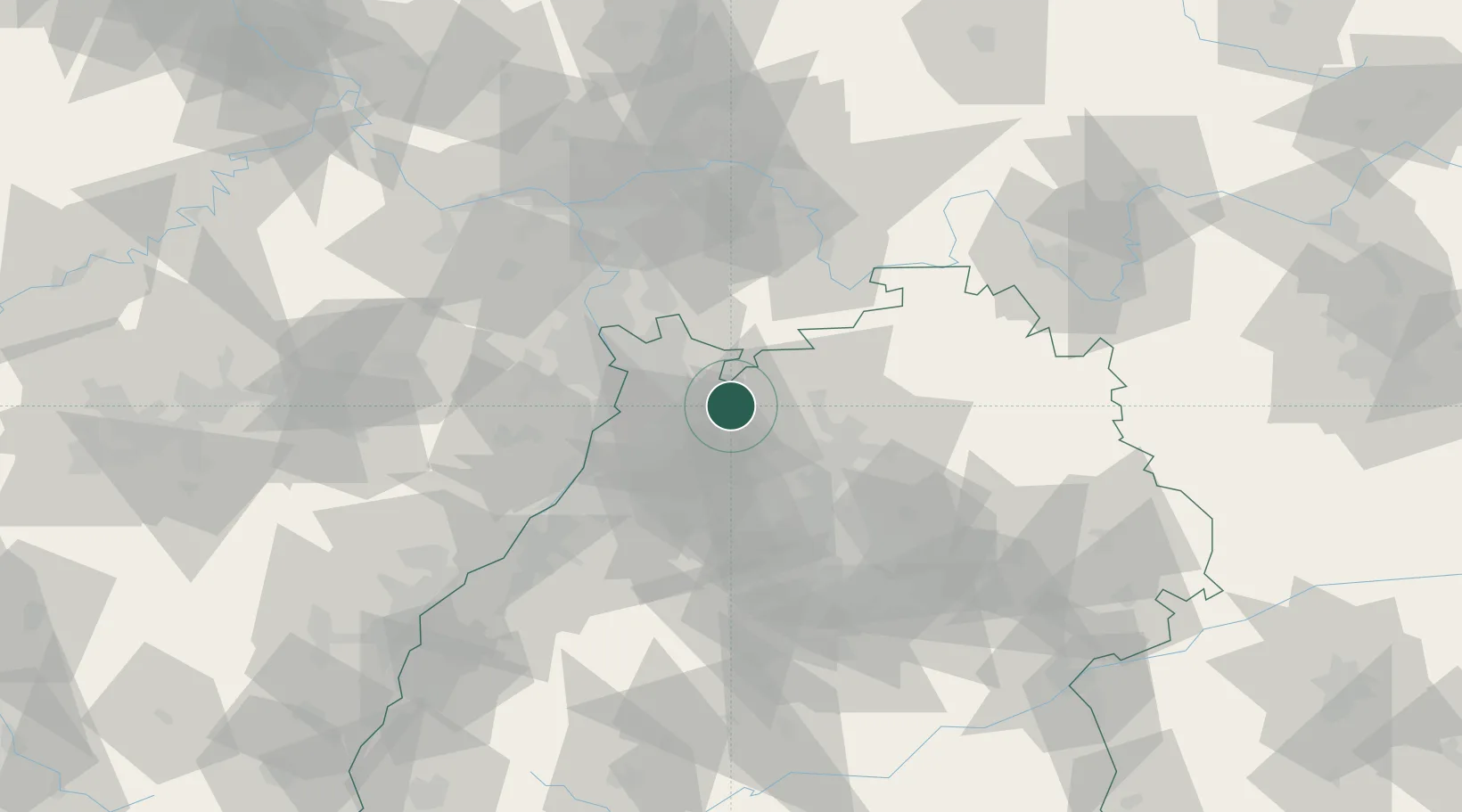
Location
Nearby Logistics Neighbours
Cities
- 1Meckesheim2 km
- 2Zuzenhausen4 km
- 3Reichartshausen7 km
- 4Helmstadt-Bargen9 km
- 5Dielheim9 km
Airports
- 1Mannheim-City Airport30 km
- 2Adolf Würth Airport71 km
- 3Frankfurt-Egelsbach Airport73 km
- 4Stuttgart Airport75 km
- 5Niederstetten Army Air Base81 km
Trade Zones
- 1ZFU Hautepierre117 km
- 2ZFU Neuhof117 km
- 3ZFU La Cité Behren-lès-Forbach141 km
- 4Luxembourg Free Port193 km
- 5ZFU Metz197 km
DatabookThe Record of Consolidated Knowledge
Germany beyond logistics?