UN/LOCODE hub · Germany
DECKE

Meckesheim

49.3167°, 8.8167°
5,409
Population
3
Transport functions

Transport Functions

Rail
Road
Multimodal
UN/LOCODE

Hub Profile

Place type
Local administrative seat
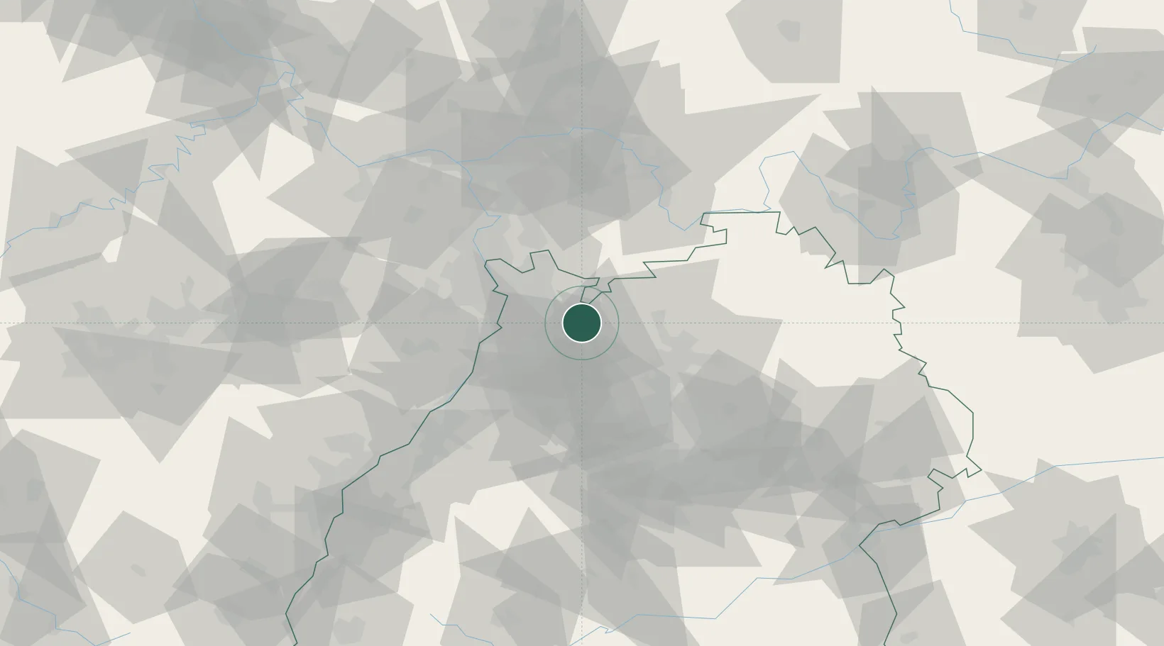
GeoNames
Region
Baden-Wurttemberg
GeoNames
Population
5,409
GeoNames
Time zone
Europe/Berlin
GeoNames
Elevation
144 m
GeoNames

Location

Location of DECKE
Natural Earth 10m (public domain) · Baden-Wurttemberg · DECKE · 49.32, 8.82GoogleOSMYandex

Nearby Logistics Neighbours

Cities
  1. 1Eschelbronn2 km
  2. 2Zuzenhausen4 km
  3. 3Dielheim7 km
  4. 4Reichartshausen9 km
  5. 5Schlierbach10 km
Nearest neighbours — logibook spatial index (haversine) over the source coordinates
Ports
  1. 1Bruxelles362 km
  2. 2Antwerpen378 km
  3. 3Dordrecht405 km
  4. 4Hansweert416 km
  5. 5Rotterdam419 km
Nearest neighbours — logibook spatial index (haversine) over the source coordinates
Airports
  1. 1Mannheim-City Airport28 km
  2. 2Frankfurt-Egelsbach Airport73 km
  3. 3Adolf Würth Airport74 km
  4. 4Stuttgart Airport76 km
  5. 5Karlsruhe Baden-Baden Airport80 km
Nearest neighbours — logibook spatial index (haversine) over the source coordinates
Trade Zones
  1. 1ZFU Hautepierre115 km
  2. 2ZFU Neuhof116 km
  3. 3ZFU La Cité Behren-lès-Forbach138 km
  4. 4Luxembourg Free Port191 km
  5. 5ZFU Metz194 km
Nearest neighbours — logibook spatial index (haversine) over the source coordinates
DatabookThe Record of Consolidated Knowledge
Germany beyond logistics?
Browse databook

All Sources

LocationsUN/LOCODE
UN/LOCODE — free
LocationsGeoNames
CC BY 4.0
Portsthe NGA World Port Index
Public domain (US gov)
AirportsOurAirports
Public domain
Trade Zonesthe World Bank SEZ database
CC BY 4.0
Trade ZonesOpen Zone Map
CC BY
← Germany locations