Transport Functions
Rail
Road
Hub Profile
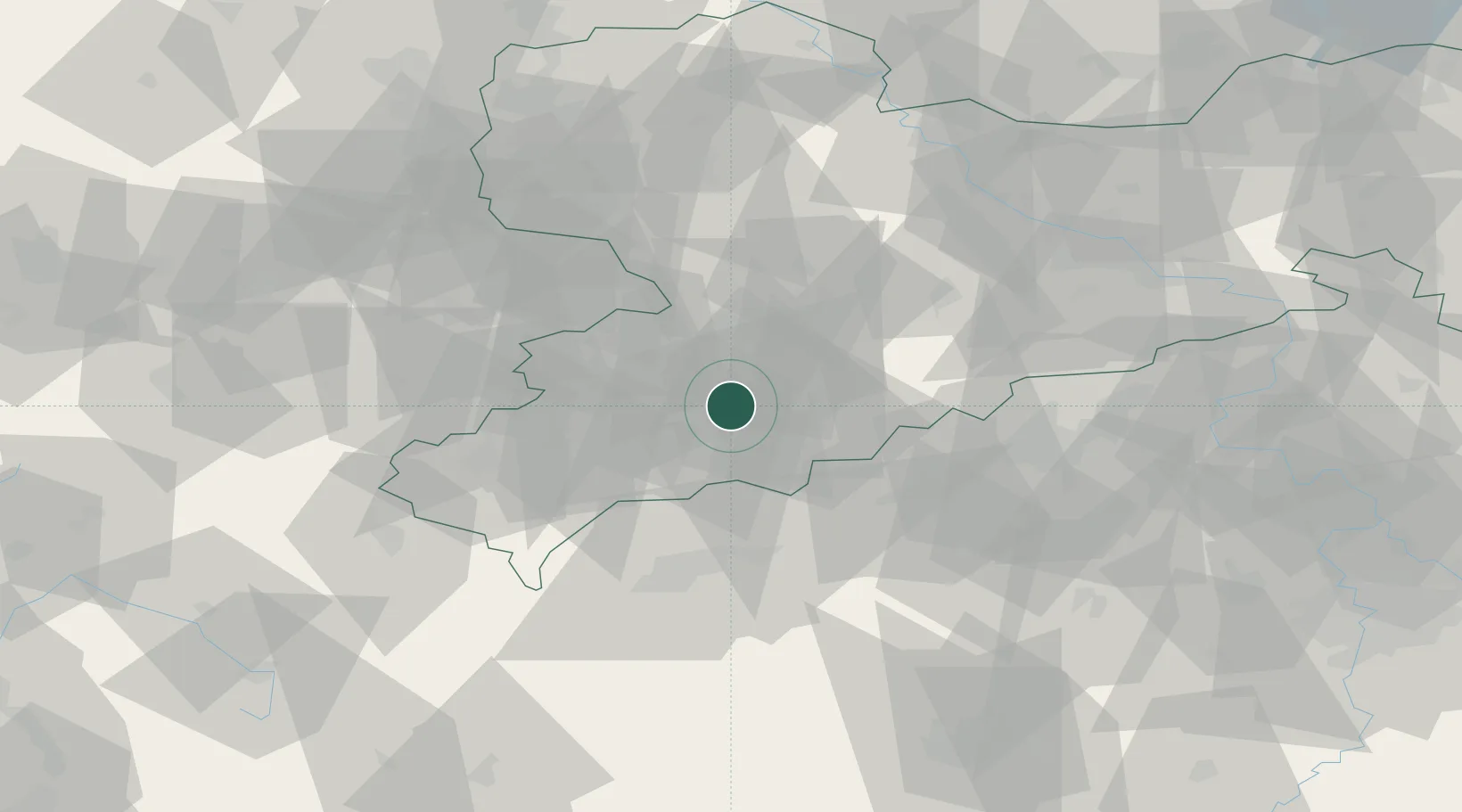
Region
SN
Location
Nearby Logistics Neighbours
Cities
- 1Elterlein7 km
- 2Aue-Bad Schlema9 km
- 3Schlema10 km
- 4Ehrenfriedersdorf11 km
- 5Niederdorf11 km
Ports
- 1Szczecin332 km
- 2Police348 km
- 3Wismar374 km
- 4Swinoujscie379 km
- 5Hamburg379 km
Airports
- 1Leipzig–Altenburg Airport44 km
- 2Karlovy Vary Airport49 km
- 3Hof-Plauen Airport77 km
- 4Dresden Airport88 km
- 5Leipzig/Halle Airport96 km
Trade Zones
DatabookThe Record of Consolidated Knowledge
Germany beyond logistics?