Medium airport · Germany

Hof-Plauen AirportEDQM
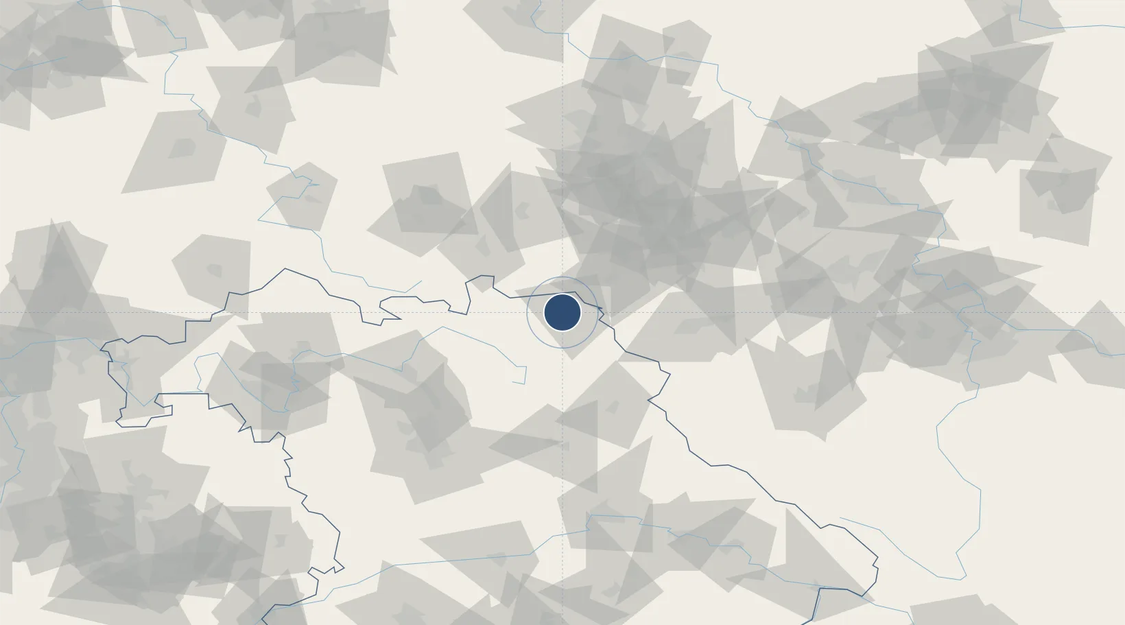
50.2885°, 11.8529°
4,856 ft
Longest runway
1
Runways
1,959 ft
Elevation

Runway & Layout

Hof-Plauen Airport runway & taxiway layout
Runway & taxiway layout — OpenStreetMap (ODbL) / OurAirports

Radio Frequencies

TWR
124.355 MHz
Hof Tower / Turm
AFIS
125.8 MHz
Langen Information
RDR
118.975 MHz
MUNCHEN RADAR
OurAirports

Navaids

HOD DME Hof 110.70 MHz
HOF NDB Hof 484 kHz
OurAirports

Runways · 1

RunwayDimensions SurfaceTrue headingLit
08/26 4,856 × 98ft Asphalt 087°
OurAirports

Airport Specifications

IATA code
HOQ
OurAirports
ICAO code
EDQM
OurAirports
Airport class
Medium airport
OurAirports
Scheduled service
No
OurAirports
Runway surface
Asphalt
OurAirports
Served city
Hof
OurAirports

Location

Location of EDQM
Natural Earth 10m (public domain) · Bayern · EDQM · 50.29, 11.85GoogleOSMYandex

Nearby Logistics Neighbours

Airports
  1. 1Bayreuth Airport37 km
  2. 2Grafenwöhr Army Air Field66 km
  3. 3Karlovy Vary Airport76 km
  4. 4Bamberg-Breitenau Airfield79 km
  5. 5Leipzig–Altenburg Airport90 km
Nearest neighbours — logibook spatial index (haversine) over the source coordinates
Cities
  1. 1Hof5 km
  2. 2Oberkotzau6 km
  3. 3Kienberg9 km
  4. 4Zedtwitz10 km
  5. 5Münchberg11 km
Nearest neighbours — logibook spatial index (haversine) over the source coordinates
Ports
  1. 1Bremen381 km
  2. 2Hamburg386 km
  3. 3Elsfleth402 km
  4. 4Oldenburg402 km
  5. 5Wismar402 km
Nearest neighbours — logibook spatial index (haversine) over the source coordinates
Trade Zones
  1. 1Podbořany Industrial Zone111 km
  2. 2Žatec - Triangle Strategic Industrial Zone119 km
  3. 3Most - Joseph Industrial Zone129 km
  4. 4Freeport of Deggendorf177 km
  5. 5Kolín - Ovčáry Industrial Zone241 km
Nearest neighbours — logibook spatial index (haversine) over the source coordinates
DatabookThe Record of Consolidated Knowledge
Germany beyond logistics?
Browse databook

All Sources

AirportsOurAirports
Public domain
Portsthe NGA World Port Index
Public domain (US gov)
LocationsUN/LOCODE
UN/LOCODE — free
Trade Zonesthe World Bank SEZ database
CC BY 4.0
Trade ZonesOpen Zone Map
CC BY
InfrastructureOpenStreetMap
ODbL 1.0
← Germany airports