Transport Functions
Rail
Road
Hub Profile
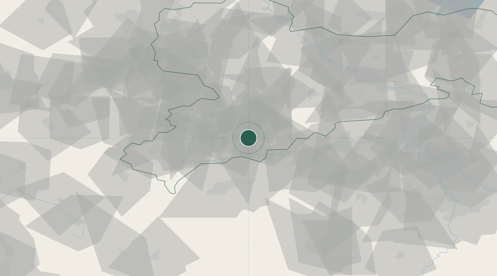
Place type
Populated place
Region
Saxony
Population
3,282
Time zone
Europe/Berlin
Elevation
608 m
Location
Nearby Logistics Neighbours
Cities
- 1Schlettau6 km
- 2Zwönitz7 km
- 3Ehrenfriedersdorf10 km
- 4Wiesa10 km
- 5Aue-Bad Schlema12 km
Ports
- 1Szczecin335 km
- 2Police352 km
- 3Wismar381 km
- 4Swinoujscie383 km
- 5Hamburg386 km
Airports
- 1Karlovy Vary Airport42 km
- 2Leipzig–Altenburg Airport51 km
- 3Hof-Plauen Airport79 km
- 4Dresden Airport88 km
- 5Leipzig/Halle Airport103 km
Trade Zones
DatabookThe Record of Consolidated Knowledge
Germany beyond logistics?