Transport Functions
Rail
Road
Hub Profile
Region
SN
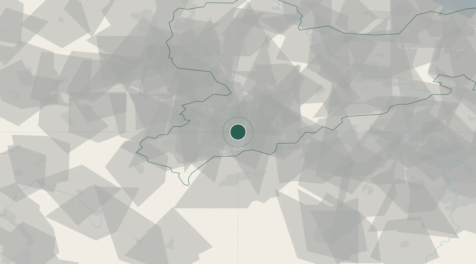
Location
Nearby Logistics Neighbours
Cities
- 1Zschorlau4 km
- 2Schlema4 km
- 3Langenweissbach8 km
- 4Zwönitz9 km
- 5Eibenstock10 km
Ports
- 1Szczecin340 km
- 2Police355 km
- 3Wismar378 km
- 4Hamburg380 km
- 5Swinoujscie386 km
Airports
- 1Karlovy Vary Airport45 km
- 2Leipzig–Altenburg Airport46 km
- 3Hof-Plauen Airport68 km
- 4Dresden Airport97 km
- 5Leipzig/Halle Airport99 km
Trade Zones
DatabookThe Record of Consolidated Knowledge
Germany beyond logistics?