Transport Functions
Rail
Road
Hub Profile
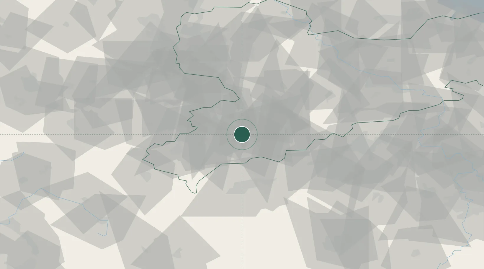
Region
SN
Location
Nearby Logistics Neighbours
Cities
- 1Langenweissbach4 km
- 2Aue-Bad Schlema4 km
- 3Zschorlau6 km
- 4Zwönitz10 km
- 5Eibenstock12 km
Ports
- 1Szczecin337 km
- 2Police353 km
- 3Wismar374 km
- 4Hamburg376 km
- 5Swinoujscie383 km
Airports
- 1Leipzig–Altenburg Airport42 km
- 2Karlovy Vary Airport49 km
- 3Hof-Plauen Airport68 km
- 4Leipzig/Halle Airport94 km
- 5Dresden Airport96 km
Trade Zones
DatabookThe Record of Consolidated Knowledge
Germany beyond logistics?