UN/LOCODE hub · Germany
DEZEF
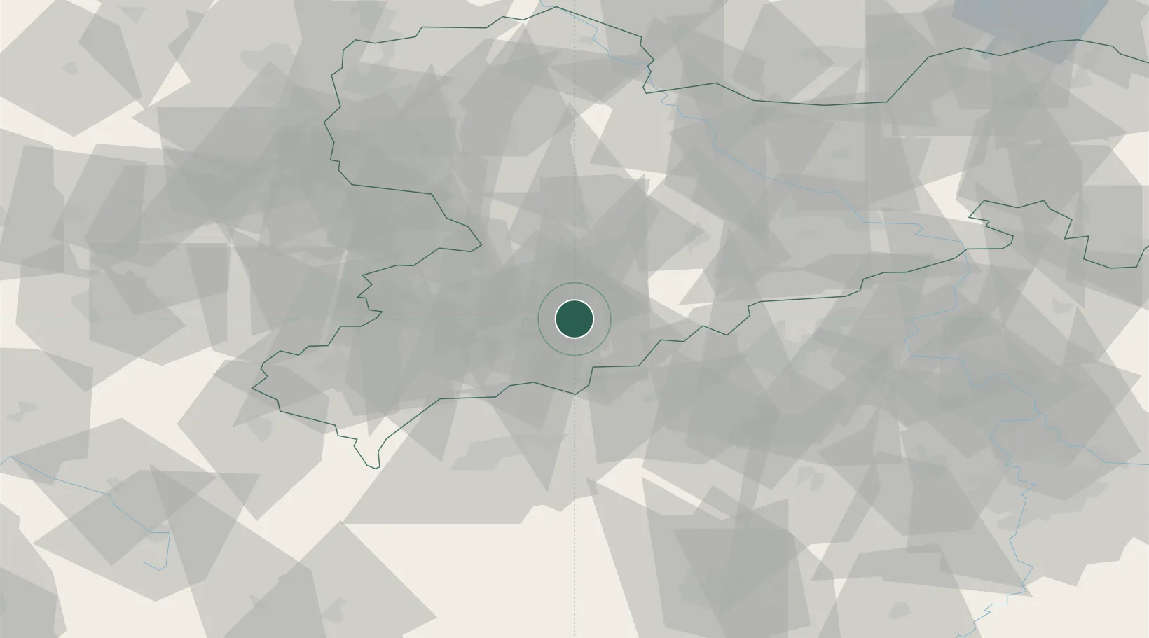
Ehrenfriedersdorf
50.6500°, 12.9500°
5,360
Population
1
Transport functions
Transport Functions
Multimodal
Hub Profile
Place type
Populated place
Region
Saxony
Population
5,360
Time zone
Europe/Berlin
Elevation
532 m
Location
Nearby Logistics Neighbours
Cities
- 1Wiesa7 km
- 2Thermalbad Wiesenbad8 km
- 3Wolkenstein8 km
- 4Schlettau9 km
- 5Elterlein10 km
Ports
- 1Szczecin327 km
- 2Police343 km
- 3Swinoujscie374 km
- 4Wismar375 km
- 5Wolgast382 km
Airports
- 1Leipzig–Altenburg Airport48 km
- 2Karlovy Vary Airport50 km
- 3Dresden Airport79 km
- 4Hof-Plauen Airport87 km
- 5Leipzig/Halle Airport99 km
Trade Zones
DatabookThe Record of Consolidated Knowledge
Germany beyond logistics?