Transport Functions
Rail
Road
Hub Profile
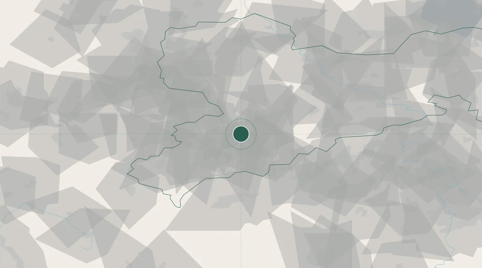
Place type
Local administrative seat
Region
Saxony
Population
1,377
Time zone
Europe/Berlin
Elevation
403 m
Location
Nearby Logistics Neighbours
Cities
- 1Lugau (Erzgebirge)2 km
- 2Oberlungwitz7 km
- 3Mittelbach7 km
- 4Neukirchen im Erzgebirge8 km
- 5Hohenstein-Ernstthal9 km
Ports
- 1Szczecin322 km
- 2Police338 km
- 3Wismar363 km
- 4Swinoujscie368 km
- 5Hamburg369 km
Airports
- 1Leipzig–Altenburg Airport34 km
- 2Karlovy Vary Airport60 km
- 3Dresden Airport82 km
- 4Hof-Plauen Airport82 km
- 5Leipzig/Halle Airport86 km
Trade Zones
DatabookThe Record of Consolidated Knowledge
Germany beyond logistics?