UN/LOCODE hub · Germany
DEZTI
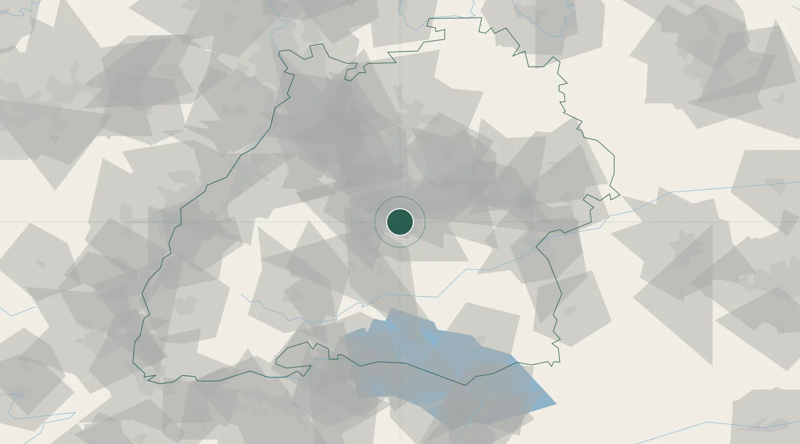
Kirchentellinsfurt
48.5333°, 9.1500°
5,406
Population
1
Transport functions
Transport Functions
Multimodal
Hub Profile
Place type
Local administrative seat
Region
Baden-Wurttemberg
Population
5,406
Time zone
Europe/Berlin
Elevation
367 m
Location
Nearby Logistics Neighbours
Cities
- 1Wannweil2 km
- 2Kusterdingen3 km
- 3Pliezhausen4 km
- 4Eningen unter Achalm9 km
- 5Grafenberg11 km
Ports
- 1Porto Di Lido-Venezia427 km
- 2Bruxelles432 km
- 3Nogaro433 km
- 4Porto Di Chioggia438 km
- 5Grado445 km
Airports
- 1Stuttgart Airport18 km
- 2Mengen-Hohentengen Airfield56 km
- 3Laupheim Air Base66 km
- 4Donaueschingen-Villingen Airfield78 km
- 5Adolf Würth Airport80 km
Trade Zones
- 1ZFU Neuhof102 km
- 2ZFU Hautepierre108 km
- 3ZFU Mulhouse160 km
- 4ZFU La Cité Behren-lès-Forbach177 km
- 5ZFU Belfort200 km
DatabookThe Record of Consolidated Knowledge
Germany beyond logistics?