Transport Functions
Multimodal
Hub Profile
Place type
Populated place
Region
Baden-Wurttemberg
Time zone
Europe/Berlin
Elevation
386 m
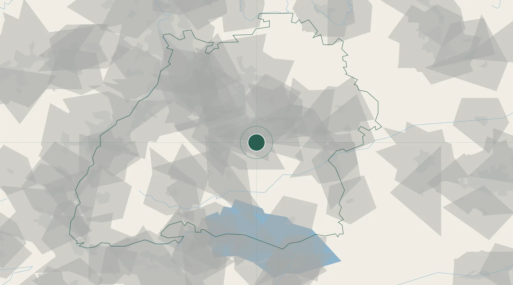
Location
Nearby Logistics Neighbours
Cities
- 1Kohlberg3 km
- 2Neuffen5 km
- 3Grossbettlingen6 km
- 4Frickenhausen6 km
- 5Pliezhausen7 km
Ports
- 1Porto Di Lido-Venezia422 km
- 2Nogaro426 km
- 3Porto Di Chioggia434 km
- 4Grado438 km
- 5Bruxelles439 km
Airports
- 1Stuttgart Airport17 km
- 2Mengen-Hohentengen Airfield55 km
- 3Laupheim Air Base58 km
- 4Adolf Würth Airport72 km
- 5Donaueschingen-Villingen Airfield86 km
Trade Zones
- 1ZFU Neuhof113 km
- 2ZFU Hautepierre118 km
- 3ZFU Mulhouse171 km
- 4ZFU La Cité Behren-lès-Forbach187 km
- 5ZFU Belfort211 km
DatabookThe Record of Consolidated Knowledge
Germany beyond logistics?