UN/LOCODE hub · Germany
DEZME
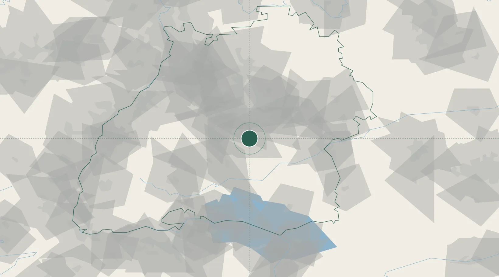
Eningen unter Achalm
48.4833°, 9.2500°
10,715
Population
2
Transport functions
Transport Functions
Road
Multimodal
Hub Profile
Place type
Local administrative seat
Region
Baden-Wurttemberg
Population
10,715
Time zone
Europe/Berlin
Elevation
464 m
Location
Nearby Logistics Neighbours
Cities
- 1Lichtenstein (Reutlingen)6 km
- 2Wannweil8 km
- 3Pliezhausen8 km
- 4Grafenberg8 km
- 5Kirchentellinsfurt9 km
Ports
- 1Porto Di Lido-Venezia418 km
- 2Nogaro424 km
- 3Porto Di Chioggia429 km
- 4Grado436 km
- 5Bruxelles441 km
Airports
- 1Stuttgart Airport23 km
- 2Mengen-Hohentengen Airfield49 km
- 3Laupheim Air Base57 km
- 4Donaueschingen-Villingen Airfield78 km
- 5Adolf Würth Airport81 km
Trade Zones
- 1ZFU Neuhof110 km
- 2ZFU Hautepierre115 km
- 3ZFU Mulhouse164 km
- 4ZFU La Cité Behren-lès-Forbach186 km
- 5ZFU Belfort204 km
DatabookThe Record of Consolidated Knowledge
Germany beyond logistics?