Transport Functions
Port
Road
Hub Profile
Place type
Local administrative seat
Region
Baden-Wurttemberg
Population
9,618
Time zone
Europe/Berlin
Elevation
341 m
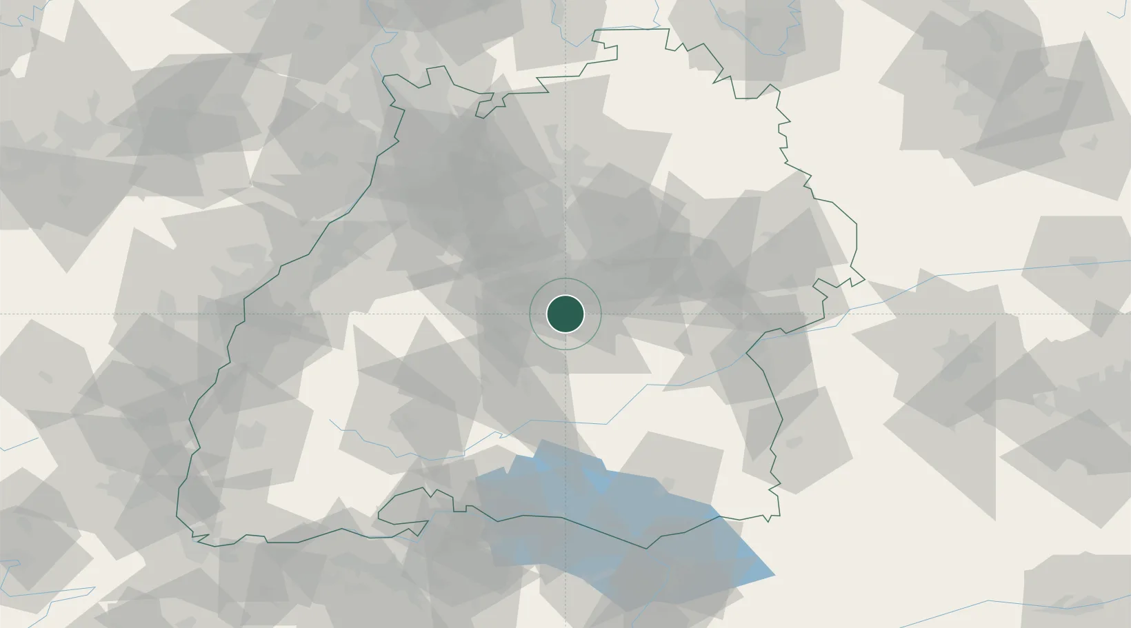
Location
Nearby Logistics Neighbours
Cities
- 1Kirchentellinsfurt4 km
- 2Wannweil5 km
- 3Kusterdingen7 km
- 4Grafenberg7 km
- 5Neckartailfingen8 km
Ports
- 1Porto Di Lido-Venezia426 km
- 2Nogaro432 km
- 3Bruxelles433 km
- 4Porto Di Chioggia438 km
- 5Grado444 km
Airports
- 1Stuttgart Airport16 km
- 2Mengen-Hohentengen Airfield57 km
- 3Laupheim Air Base64 km
- 4Adolf Würth Airport76 km
- 5Donaueschingen-Villingen Airfield81 km
Trade Zones
- 1ZFU Neuhof106 km
- 2ZFU Hautepierre111 km
- 3ZFU Mulhouse164 km
- 4ZFU La Cité Behren-lès-Forbach180 km
- 5ZFU Belfort204 km
DatabookThe Record of Consolidated Knowledge
Germany beyond logistics?