Transport Functions
Multimodal
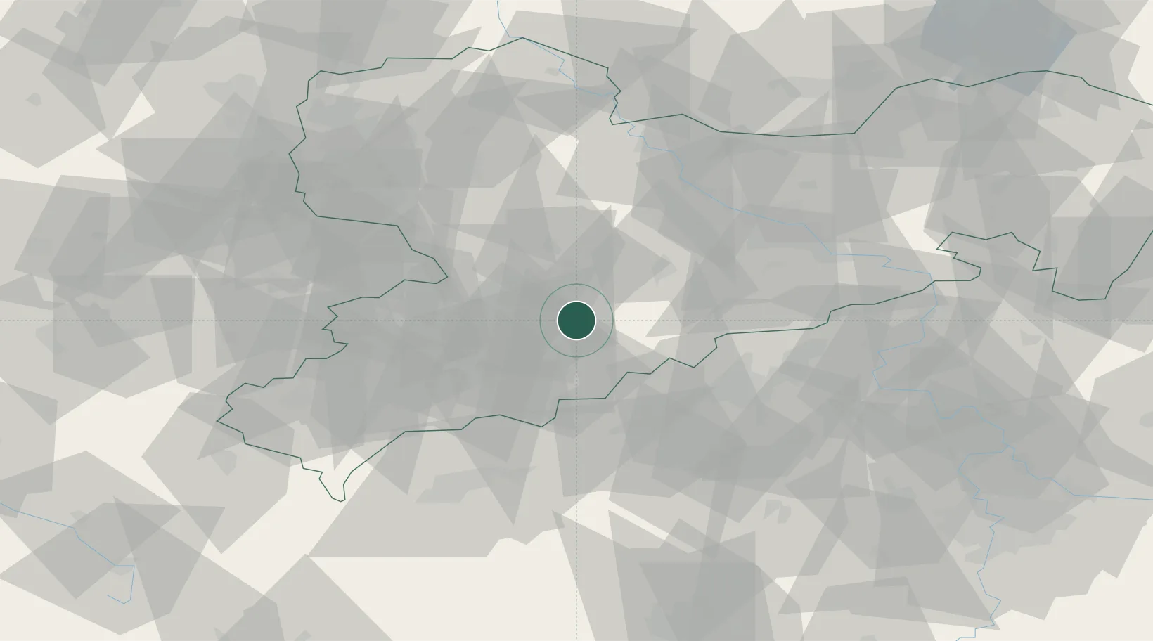
Hub Profile
Place type
Populated place
Region
Saxony
Population
11,705
Time zone
Europe/Berlin
Elevation
355 m
Location
Nearby Logistics Neighbours
Cities
- 1Griessbach4 km
- 2Borstendorf8 km
- 3Hohenfichte9 km
- 4Leubsdorf9 km
- 5Lauta11 km
Ports
- 1Szczecin313 km
- 2Police330 km
- 3Swinoujscie361 km
- 4Wismar367 km
- 5Wolgast370 km
Airports
- 1Leipzig–Altenburg Airport47 km
- 2Karlovy Vary Airport62 km
- 3Dresden Airport65 km
- 4Leipzig/Halle Airport95 km
- 5Hof-Plauen Airport100 km
Trade Zones
DatabookThe Record of Consolidated Knowledge
Germany beyond logistics?