Transport Functions
Road
Multimodal
Hub Profile
Place type
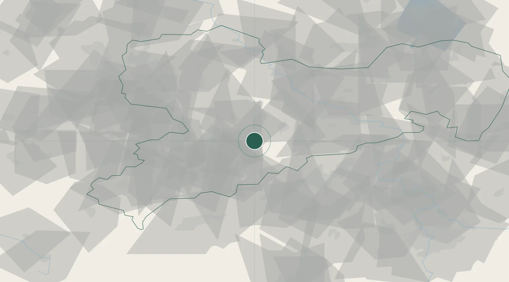
Populated place
Region
Saxony
Time zone
Europe/Berlin
Elevation
332 m
Location
Nearby Logistics Neighbours
Cities
- 1Leubsdorf3 km
- 2Borstendorf4 km
- 3Föha6 km
- 4Niederwiesa6 km
- 5Eppendorf7 km
Ports
- 1Szczecin305 km
- 2Police321 km
- 3Swinoujscie353 km
- 4Wismar361 km
- 5Wolgast362 km
Airports
- 1Leipzig–Altenburg Airport48 km
- 2Dresden Airport57 km
- 3Karlovy Vary Airport70 km
- 4Leipzig/Halle Airport92 km
- 5Holzdorf Air Base106 km
Trade Zones
DatabookThe Record of Consolidated Knowledge
Germany beyond logistics?