Transport Functions
Multimodal
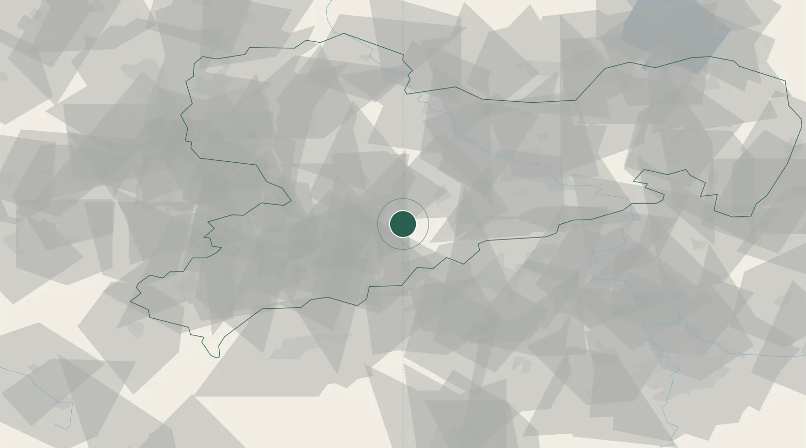
Hub Profile
Place type
Local administrative seat
Region
Saxony
Population
1,363
Time zone
Europe/Berlin
Elevation
399 m
Location
Nearby Logistics Neighbours
Cities
- 1Leubsdorf2 km
- 2Hohenfichte4 km
- 3Eppendorf5 km
- 4Zschopau8 km
- 5Niederwiesa9 km
Ports
- 1Szczecin308 km
- 2Police324 km
- 3Swinoujscie356 km
- 4Wismar365 km
- 5Wolgast366 km
Airports
- 1Leipzig–Altenburg Airport51 km
- 2Dresden Airport57 km
- 3Karlovy Vary Airport67 km
- 4Leipzig/Halle Airport96 km
- 5Vodochody Airport107 km
Trade Zones
DatabookThe Record of Consolidated Knowledge
Germany beyond logistics?