Transport Functions
Road
Multimodal
Hub Profile
Place type
Populated place
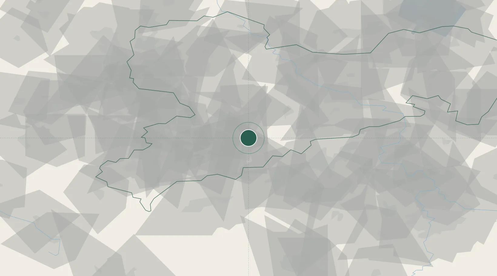
Region
Saxony
Time zone
Europe/Berlin
Elevation
422 m
Location
Nearby Logistics Neighbours
Cities
- 1Zschopau4 km
- 2Wolkenstein8 km
- 3Lauta9 km
- 4Ehrenfriedersdorf10 km
- 5Borstendorf11 km
Ports
- 1Szczecin317 km
- 2Police333 km
- 3Swinoujscie365 km
- 4Wismar370 km
- 5Wolgast374 km
Airports
- 1Leipzig–Altenburg Airport48 km
- 2Karlovy Vary Airport58 km
- 3Dresden Airport69 km
- 4Leipzig/Halle Airport97 km
- 5Hof-Plauen Airport97 km
Trade Zones
DatabookThe Record of Consolidated Knowledge
Germany beyond logistics?